
Catching Up: March 2011 ICC Meet

So the last update I did was in March when we went up to Washington DC for the Intercounty Connector Meet.  I blogged about our Stroll along the National Mall, but I never got around to blogging about the meet.  So now nine month later and after the second and much longer section of the highway has opened, I preset an overview of the First ICC Meet.

The entire meet set is located on flickr, here.

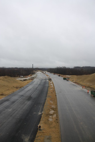
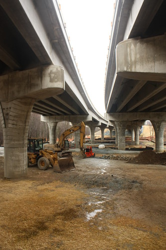
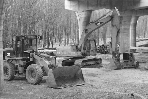
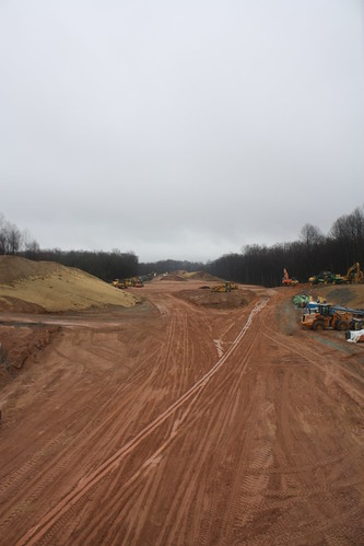
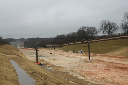
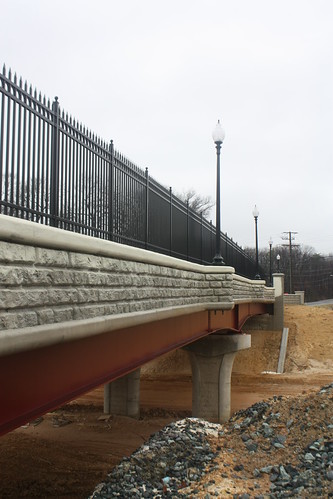
Unfortunately, I don't recall the details of the location of the photos, but I figured i would share some of the photo highlights from the soggy Sunday morning.


IMG_3452

IMG_3457

IMG_3466

IMG_3469

InterCounty Connector Construction

IMG_3487

IMG_3491

IMG_3495

IMG_3503

IMG_3506

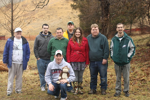
And of course the group photo:

2011 Spring Washington DC Roadmeet

Comments

Steve A said…
Annnd the Adam Prince pose!

Popular posts from this blog

Hawaii Route 8930

Hawaii Route 8930 is a 2.5-mile State Highway on the Island of O'hau.  Hawaii Route 8930 is aligned over Kualakai Parkway over the course of its entire alignment south from Interstate H-1 to Kapolei Parkway.  Hawaii Route 8930 is one of the newest Hawaii Routes only having been completed during 2010.   This page is part of the Gribblenation O'ahu Highways page.  All Gribblenation and Roadwaywiz media related to the highway system of O'ahu can be found at the link below: https://www.gribblenation.org/p/gribblenation-oahu-highways-page.html Part 1; the history of Hawaii Route 8930 The history of Hawaii Route 8930 is brief given it is a modern facility.  Hawaii Route 8930 and what was known as "North-South Road" were built to facilitate the developing areas of Kapolei on western O'ahu.  According to hawaiihighways.com the first stage of Hawaii Route 8930 was completed from Kapolei Parkway north to Farrington Highway as a four-lane highway during November...

Madera County Road 607 and the Stockton-Los Angeles Road

Madera County Road 607 is an approximately seven-mile rural unsurfaced highway which spans from Road 600 near Raymond west to Road 29.   Road 607 west from Raymond Road Cemetery (established in 1905) is part of the Stockton-Los Angeles Road corridor surveyed in 1853. The corridor lies in the gap between Fresno Crossing at the Fresno River west to Newton's Crossing at the Chowchilla River. The Buchanan Copper Mine would be along what is now Road 607 in the namesake Buchanan Hollow during July 1863. The Buchanan Mine is thought to have once had a population of between 1,000-1,500 residents by the early 1870s. Copper prices would decline in the decade after the Civil War and much of the activity at Buchanan shifted towards cattle ranching. The last businesses in the community would shutter during World War II and it is now a true ghost town. Part 1; the history of Madera County Road 607 and the Stockton-Los Angeles Road What is now Road 607 was a component of the larger Sto...

Old US Route 60/70 through Hell (Chuckwall Valley Road and Ragsdale Road)

Back in 2016 I explored some of the derelict roadways of the Sonoran Desert of Riverside County which were part of US Route 60/70; Chuckwalla Valley Road and Ragsdale Road. US 60 and US 70 were not part of the original run of US Routes in California.  According to USends.com US 60 was extended into California by 1932.  US 60 doesn't appear on the California State Highway Map until the 1934 edition. USends.com on US 60 endpoints 1934 State Highway Map Conversely US 70 was extended into California by 1934, it first appears on the 1936 State Highway Map. USends.com on US 70 endpoints 1936 State Highway Map When US 60 and US 70 were extended into California they both utilized what was Legislative Route Number 64 from the Arizona State Line west to Coachella Valley.  LRN 64 was part of the 1919 Third State Highway Bond Act routes.  The original definition of LRN 64 routed between Mecca in Blythe and wasn't extended to the Arizona State Line until 1931 acc...