
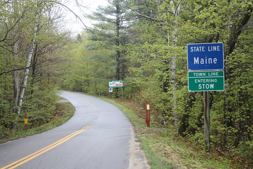
Day 3 of the New England Trip was exclusively Maine (well we did re-enter New Hampshire twice - more on that later). We went from North Conway, NH to Rockland, ME by way of Acadia National Park.
Route: US 302, ME 113, US 2, ME 156, US 2, ME 11/100, I-95, I-395, US 1A, ME 3, US 1.
This blog will cover the trip from North Conway to Acadia National Park. For the entire photo set on flickr, head here.
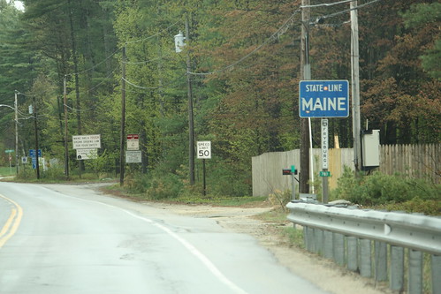
My first time back in Maine since October 2003!!! In Fryeburg, we turned North on ME 113 to head to US 2. However, what is interesting about ME 113 it actually re-enters New Hampshire twice between US 302 and US 2. New Hampshire signs the route as a Maine highway.
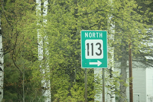
After entering Maine for the final time, ME 113 enters White Mountain National Forest. The road is typically closed in the winter.
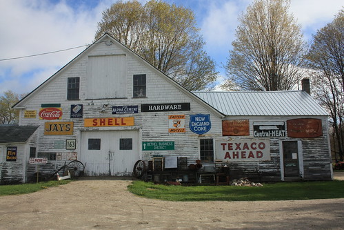
Somewhere on US 2 was this great antique store full of great old signs. Unfortunately, it was closed.
After a quick stop in Rumford Corner, we stopped at the town of Rumford and took in the amazing Rumford Falls.
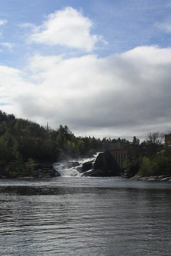
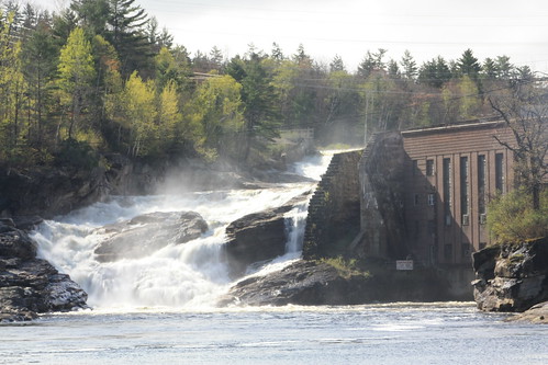
Rumford Falls is also known as Pennacook Falls. The overall drop for the three falls is 176 feet which is the steepest drop east of Niagra. The photos I took of the Middle Falls is seen very easily from US 2.
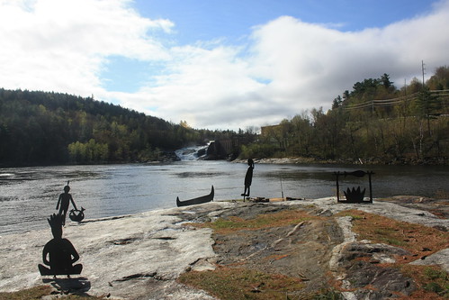
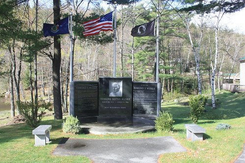
The area around the Middle Falls are surrounded by a nicely developed park and fishing is very popular. There is also a memorial to former Maine US Senator, Secretary of State and Presidential candidate Edwin Muskie at the park.
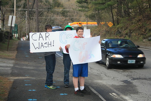
While we were there, a car wash set up.
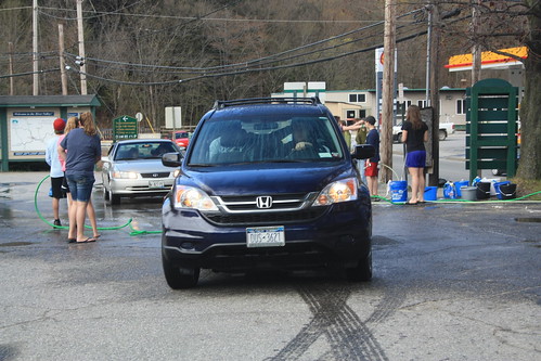
And considering the mud from the rain the day before that was on Doug's Vehicle....we got it washed!
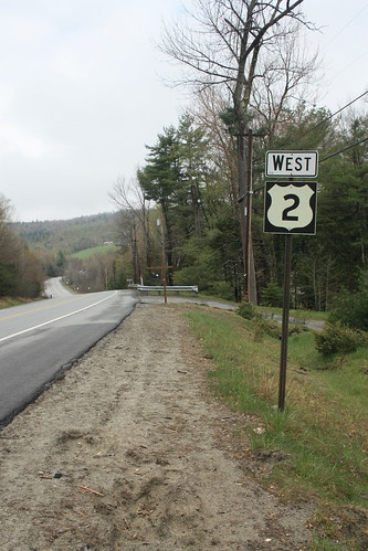
Further east ...an older US 2 shield.
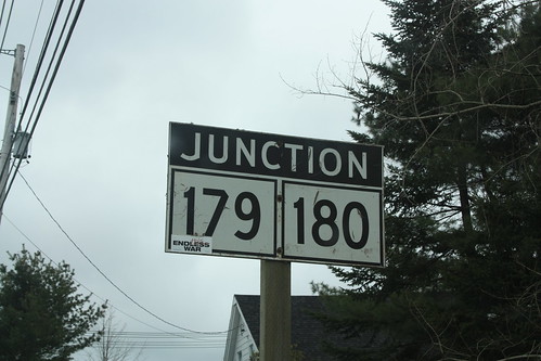
Unfortunately, as we continued East the breaks in the clouds we enjoyed earlier on US 2 went away - and the overcast conditions continued all the way to Mount Desert Island. One last goodie before we feature Acadia National Park. On US 1A - an ancient Junction ME 179 and 180 uni-sign.
Route: US 302, ME 113, US 2, ME 156, US 2, ME 11/100, I-95, I-395, US 1A, ME 3, US 1.
This blog will cover the trip from North Conway to Acadia National Park. For the entire photo set on flickr, head here.
My first time back in Maine since October 2003!!! In Fryeburg, we turned North on ME 113 to head to US 2. However, what is interesting about ME 113 it actually re-enters New Hampshire twice between US 302 and US 2. New Hampshire signs the route as a Maine highway.
After entering Maine for the final time, ME 113 enters White Mountain National Forest. The road is typically closed in the winter.
Somewhere on US 2 was this great antique store full of great old signs. Unfortunately, it was closed.
After a quick stop in Rumford Corner, we stopped at the town of Rumford and took in the amazing Rumford Falls.
Rumford Falls is also known as Pennacook Falls. The overall drop for the three falls is 176 feet which is the steepest drop east of Niagra. The photos I took of the Middle Falls is seen very easily from US 2.
The area around the Middle Falls are surrounded by a nicely developed park and fishing is very popular. There is also a memorial to former Maine US Senator, Secretary of State and Presidential candidate Edwin Muskie at the park.
While we were there, a car wash set up.
And considering the mud from the rain the day before that was on Doug's Vehicle....we got it washed!
Further east ...an older US 2 shield.
Unfortunately, as we continued East the breaks in the clouds we enjoyed earlier on US 2 went away - and the overcast conditions continued all the way to Mount Desert Island. One last goodie before we feature Acadia National Park. On US 1A - an ancient Junction ME 179 and 180 uni-sign.
Comments