
A Quick Stopover in Lordsburg, NM


A quick glance at a map of southwest New Mexico might suggest that the city of Lordsburg is nothing more than a tiny outpost community with little to no history to speak of. A closer inspection will reveal this narrative to be far from accurate. Lordsburg has an estimated population of 2,400 (ca. 2019) and is the county seat of Hidalgo County, the southernmost county in New Mexico and the anchor of the state’s “Boot Heel” – a geographic feature born from the Gadsden Purchase of 1854, which saw the United States purchase the lands south of Arizona’s Gila River and those west of the Rio Grande River in an effort to resolve ongoing border disputes in the aftermath of the Mexican War. (In fact, Hidalgo County is named in honor of the Treaty of Guadalupe Hidalgo, which ended the conflict in 1848.) America was also motivated to make the purchase, because it saw these lands as being optimal for a deep southern transcontinental railroad route, a route that finally saw construction 15 years after the end of the Civil War. Lordsburg itself was founded in 1880, originally as a stop along this transcontinental railroad line eventually completed by the Southern Pacific Railroad in 1883. 

The town’s position as a “railroad town” led to its quick development into a bustling city that at its peak was among the largest in southern New Mexico. (To this day, the Union Pacific Railroad maintains a large presence in town and Amtrak’s cross-country rail service continues to stop in Lordsburg.) This status also maintained itself in the post-World War II years when long-distance automobile travel began to take over all corners of the country. The city was conveniently located at the junction of US Routes 70 & 80 and given its relative proximity to southern California and western Texas, Lordsburg soon became a convenient stopping/lodging place for long-distance travelers in the region. Additionally, the town became notable in those postwar years for being home to one of the few hotels in the region open to African-American guests – a feature that made the town popular among certain ethnic groups during the final years of legal segregation.

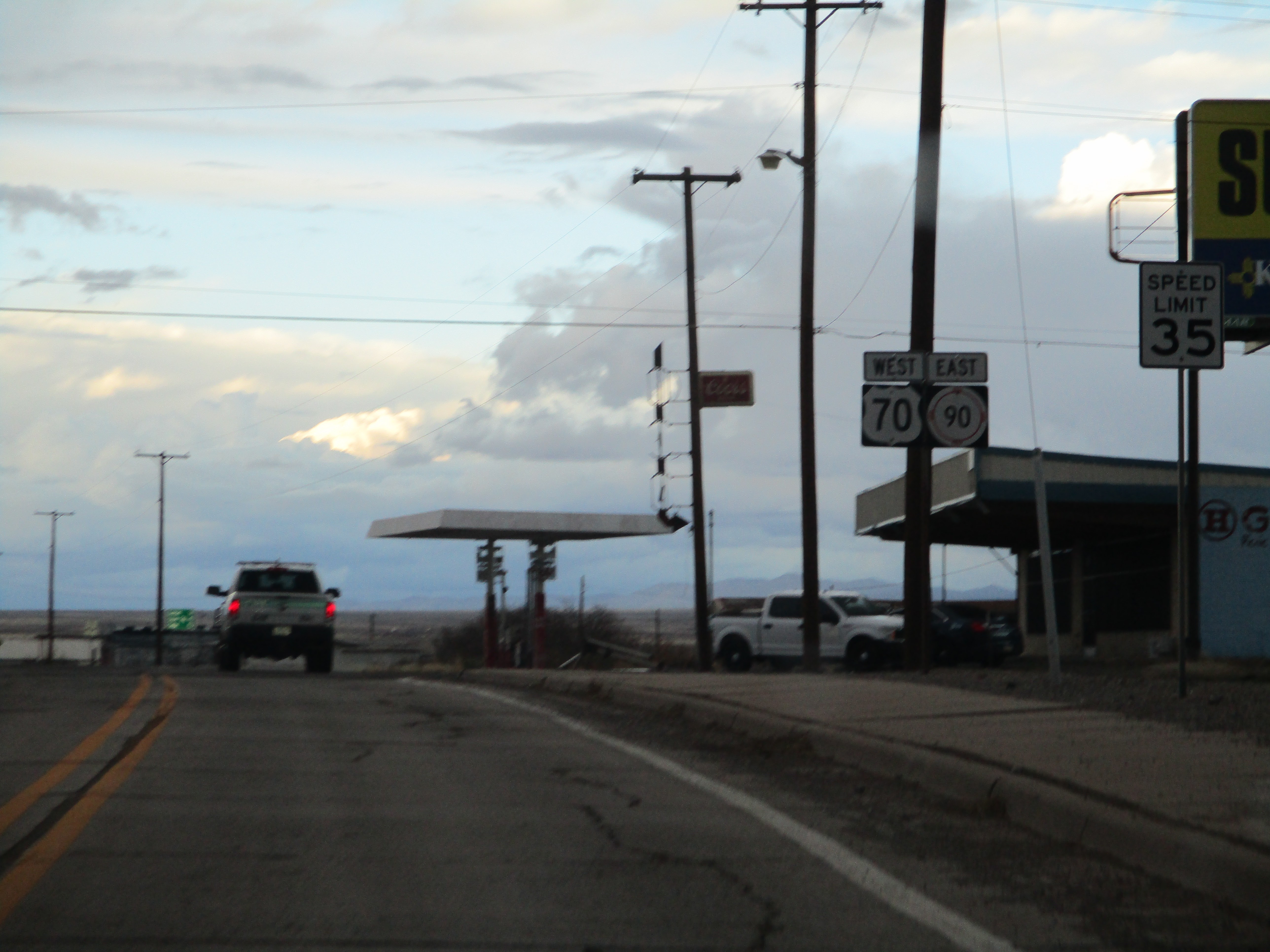
Over the years, US 80 was gradually replaced west of Texas (both functionally and literally) by Interstate 10 and the freeway’s construction created a bypass around the center of the old town, but the city’s visibility and importance to travelers has not waned over the years. Nowadays there are about a dozen hotels in the city & surrounding area and it continues to be a logical and popular stopover destination along the interstate between Tucson and Las Cruces. Yours truly became just one more in a long line of American travelers and chose Lordsburg as a stopping place for the night back in February 2020 and in doing so was able to spend some time exploring the city and immediate area. Please enjoy this photo summary of this historic American rail town:


Scenes along the Interstate around town

The former alignment of US 70/80 through central Lordsburg is now signed as an I-10 business route. The scenes above feature the drive along what's known fittingly as "Motel Drive" eastbound. The scenes below feature the drive westbound along this street. In select photos, take note of the older generation overhead/roadside signage that remains in place and in decent enough condition.
The junction of old US 70/80 in downtown Lordsburg features a tightly-packed trumpet interchange; its location and dimensions are constrained by the central business district next door, but also the city's lifeline - the Union Pacific Railroad tracks across the street. The images below feature this junction from the US 70 point of view:
We'll wrap up our look at Lordsburg and southwestern New Mexico with a few images below featuring the overall landscape and the region's natural beauty. It's an area of the country I had never seen prior to February 2020 and its one that continues to fascinate & interest me today. I hope you get the chance to check this area out and see it for yourself!


Comments

Popular posts from this blog

Hawaii Route 8930

Hawaii Route 8930 is a 2.5-mile State Highway on the Island of O'hau.  Hawaii Route 8930 is aligned over Kualakai Parkway over the course of its entire alignment south from Interstate H-1 to Kapolei Parkway.  Hawaii Route 8930 is one of the newest Hawaii Routes only having been completed during 2010.   This page is part of the Gribblenation O'ahu Highways page.  All Gribblenation and Roadwaywiz media related to the highway system of O'ahu can be found at the link below: https://www.gribblenation.org/p/gribblenation-oahu-highways-page.html Part 1; the history of Hawaii Route 8930 The history of Hawaii Route 8930 is brief given it is a modern facility.  Hawaii Route 8930 and what was known as "North-South Road" were built to facilitate the developing areas of Kapolei on western O'ahu.  According to hawaiihighways.com the first stage of Hawaii Route 8930 was completed from Kapolei Parkway north to Farrington Highway as a four-lane highway during November...

Madera County Road 607 and the Stockton-Los Angeles Road

Madera County Road 607 is an approximately seven-mile rural unsurfaced highway which spans from Road 600 near Raymond west to Road 29.   Road 607 west from Raymond Road Cemetery (established in 1905) is part of the Stockton-Los Angeles Road corridor surveyed in 1853. The corridor lies in the gap between Fresno Crossing at the Fresno River west to Newton's Crossing at the Chowchilla River. The Buchanan Copper Mine would be along what is now Road 607 in the namesake Buchanan Hollow during July 1863. The Buchanan Mine is thought to have once had a population of between 1,000-1,500 residents by the early 1870s. Copper prices would decline in the decade after the Civil War and much of the activity at Buchanan shifted towards cattle ranching. The last businesses in the community would shutter during World War II and it is now a true ghost town. Part 1; the history of Madera County Road 607 and the Stockton-Los Angeles Road What is now Road 607 was a component of the larger Sto...

Old US Route 60/70 through Hell (Chuckwall Valley Road and Ragsdale Road)

Back in 2016 I explored some of the derelict roadways of the Sonoran Desert of Riverside County which were part of US Route 60/70; Chuckwalla Valley Road and Ragsdale Road. US 60 and US 70 were not part of the original run of US Routes in California.  According to USends.com US 60 was extended into California by 1932.  US 60 doesn't appear on the California State Highway Map until the 1934 edition. USends.com on US 60 endpoints 1934 State Highway Map Conversely US 70 was extended into California by 1934, it first appears on the 1936 State Highway Map. USends.com on US 70 endpoints 1936 State Highway Map When US 60 and US 70 were extended into California they both utilized what was Legislative Route Number 64 from the Arizona State Line west to Coachella Valley.  LRN 64 was part of the 1919 Third State Highway Bond Act routes.  The original definition of LRN 64 routed between Mecca in Blythe and wasn't extended to the Arizona State Line until 1931 acc...