Arizona State Route 95 Truck is a 0.85-mile-long spur of Arizona State Route 95 located in Parker. Arizona State Route 95 Truck follows California Avenue north of Riverside Drive to California State Route 62 at the Colorado River Bridge. What is now Arizona State Route 95 Truck was originally a ferry crossing of the Colorado River and later part of Arizona State Route 72. The Colorado River in Parker was bridged by a pontoon highway crossing during late 1935 with a permanent span being completed during 1937. Arizona State Route 95 Truck was created in 1962 when the mainline highway was extended north of Parker. The current Colorado River Bridge carrying Arizona State Route 95 Truck and California State Route 62 opened during 2014. Featured as the blog cover is the 1937 Colorado River Bridge when it was part of Arizona State Route 72.
Part 1; the history of Arizona State Route 95 Truck
In 1908 Parker was established in what was then Yuma County as a siding of the Arizona & California Railway. Parker was named in honor of Ely S. Parker who had been Commissioner of Indian Affairs under the Presidency of Ulysses Grant. The Arizona & California Railway was originally a short line subdivision of the Atchison, Topeka & Santa Railway. The Arizona & California Railway originated in Cadiz, California and ended at Matthie siding near Wickenburg. The Arizona & California Railway crossed the Colorado River via a truss span which still stands in Parker.
Originally no highway service existed from Parker over the Colorado River into California. This changed during May 1915 when ferry service was established in Parker via a paddle-wheel ship known as the "Iola."
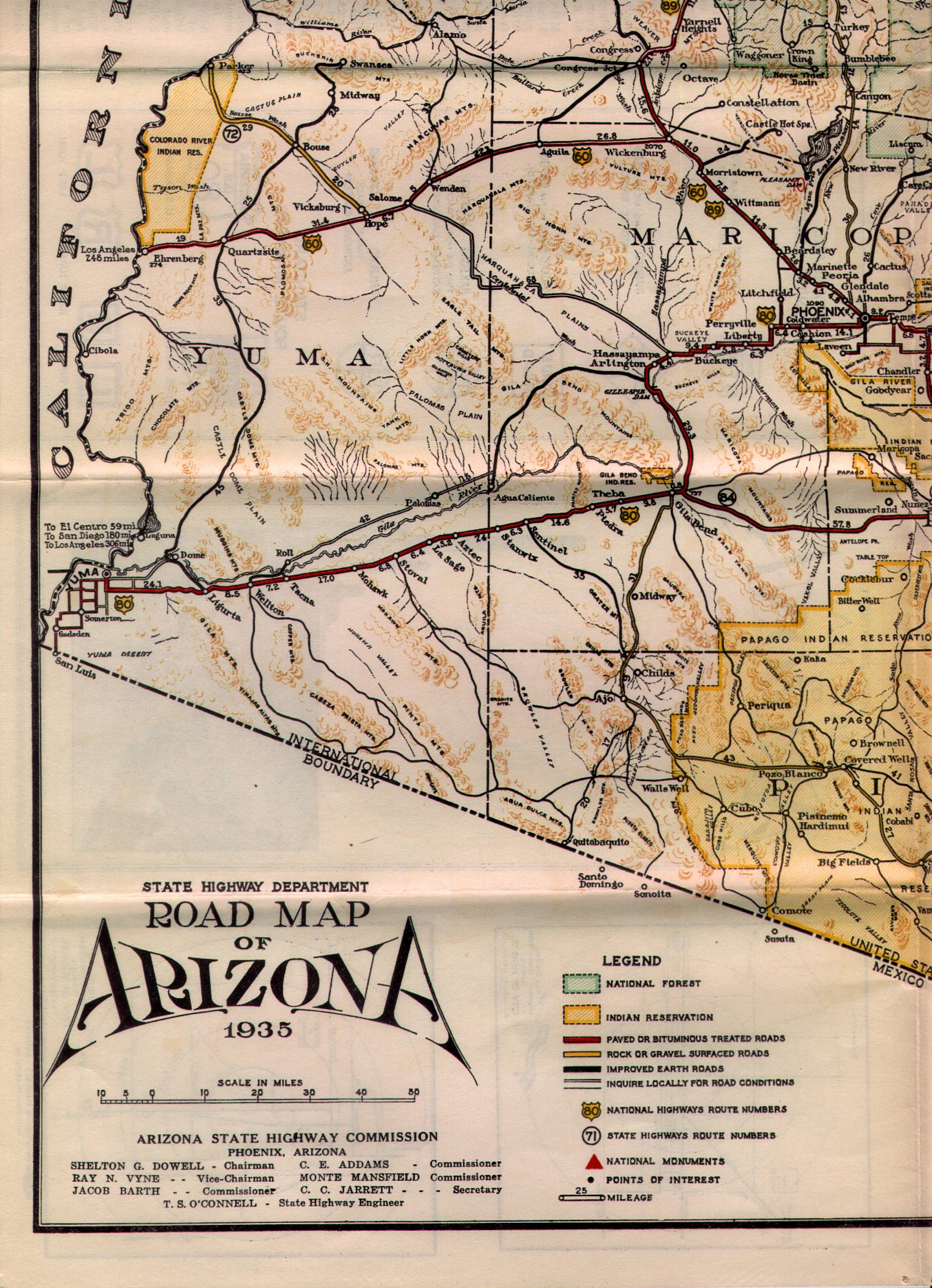
What is now Arizona State Route 95 Truck was commissioned into the Arizona State Highway System as a component of Arizona State Route 72 in the early 1930s. Arizona State Route 72 as originally began at US Route 60 at Hope and ended at the Colorado River Ferry in Parker. Arizona State Route 72 can be seen in detail between Hope-Parker on the 1935 State Highway Department Map of Arizona.
During December 1935 a pontoon bridge crossing the Colorado River in Parker was erected. This pontoon structure was made possible due to the upstream Hoover Dam slowing the currents of the Colorado River. The Colorado River Pontoon Bridge was located at the western terminus of Arizona State Route 72. The Colorado River Pontoon Bridge can be seen from Parker in a University of California hosted photo.
The pontoon bridge at the Colorado River was intended to be a temporary crossing until a permanent structure could be built. The October 1937 Arizona Highways features the completed Colorado River Bridge in Parker. The article stub notes the Colorado River Bridge to be located at the western terminus of Arizona State Route 72. The Colorado River Bridge was constructed with funds via State appropriations and from the Bureau of Public Roads. The paved highway on the California side of the Colorado River in San Bernardino County was constructed by the Metropolitan Water District of Southern California as part of the Colorado River Aqueduct project.
Parker would incorporate as a town during 1948. During the early 1960s Arizona State Route 95 had been straightened directly north of Quartzsite. During 1962 Arizona State Route 95 was extended and replaced Arizona State Route 172 north of Parker. Subsequently Arizona State Route 72 was truncated to a junction with Arizona State Route 95 in the southern outskirts of Parker. The Colorado River Bridge in Parker and California Avenue north of Riverside Drive were reassigned as Arizona State Route 95 Truck.
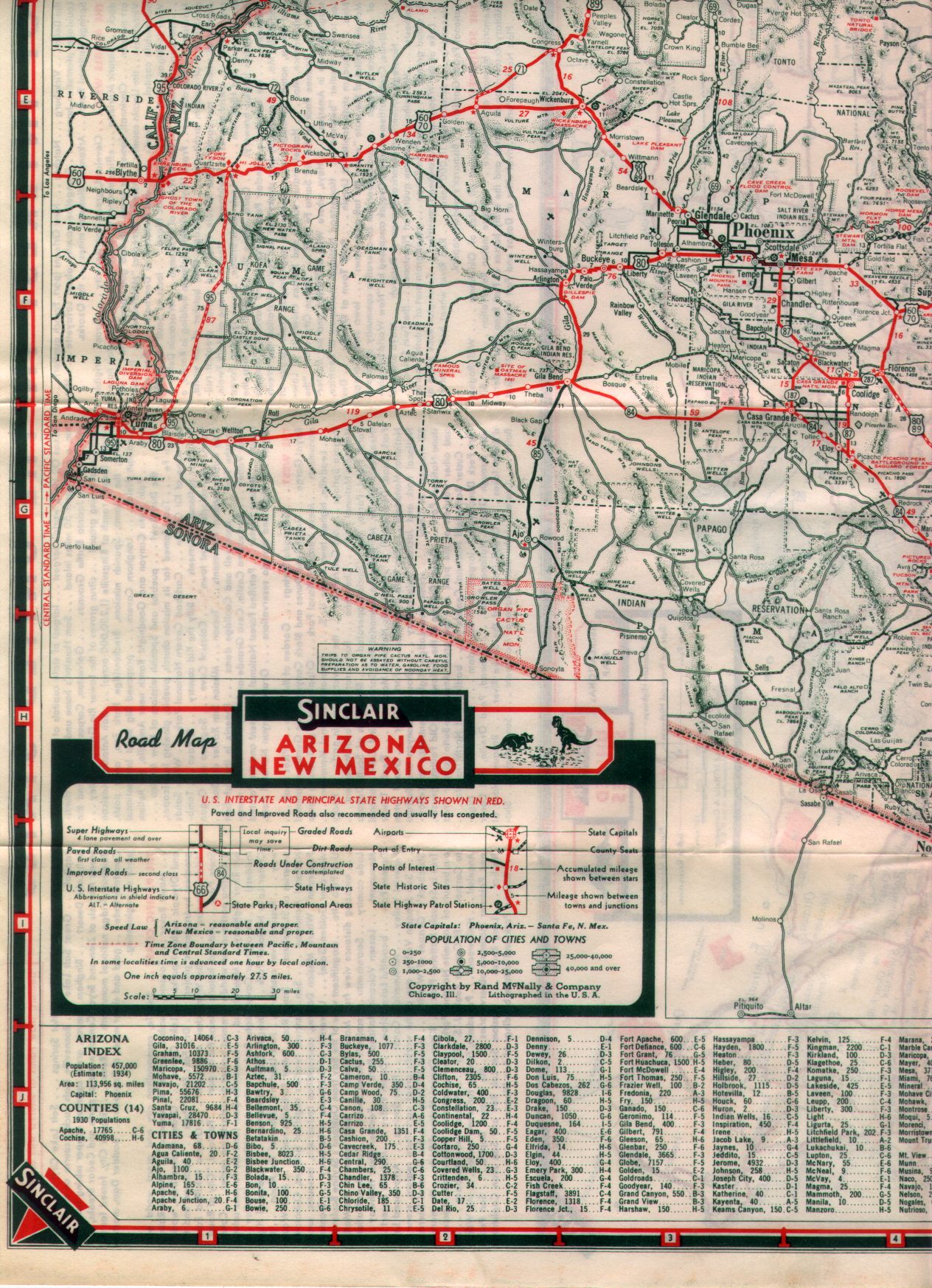
1970 California Legislative Chapter 1473 extended California State Route 62 from Twentynine Palms east to the Colorado River Bridge at the Arizona state line. The California Division of Highways assumed maintenance of the existing Aqueduct Road which connected US Route 95 at Vidal Junction to The Colorado River Bridge. California State Route 62 can be seen terminating at the Colorado River Bridge near Parker on the 1975 Caltrans Map.
Parker became the seat of the newly created La Paz County on January 1, 1983. On April 12, 2010, the Metropolitan Water District received an application from Caltrans and the Arizona Department of Transportation to replace the Colorado River Bridge. The stream under the Colorado River Bridge is noted to have dropped twenty feet which led to the loss of lateral support and embedment in the structure pilings.
The current Colorado River Bridge opened during 2014 and was dedicated on October 1st of said year. The current Colorado River Bridge can be seen in a YouTube video by BigRiver Drone. The 1937 Colorado River Bridge was demolished following the opening of the current span.
Part 2; a drive on Arizona State Route 95 Truck
From the community of Earp in San Bernardino County eastbound California State Route 62 makes a right-hand turn from Aqueduct Road towards the Colorado River Bridge.
California State Route 62 eastbound crosses under the 1908 Arizona & California Railway Bridge to a terminus at the foot of the Colorado River Bridge. The 1908 Arizona & California Railway Bridge partially burned during September 2019, but the structure did not fail. The Arizona & California Railway came under the ownership of RailAmerica during 2012.
California Avenue crosses the Colorado River Bridge and becomes Arizona State Route 95 Truck. An Arizona State Route 95 Truck shield can be found as the highway enters Parker.
Arizona State Route 95 Truck follows California Avenue to a terminus at mainline Arizona State Route 95 at Riverside Drive.
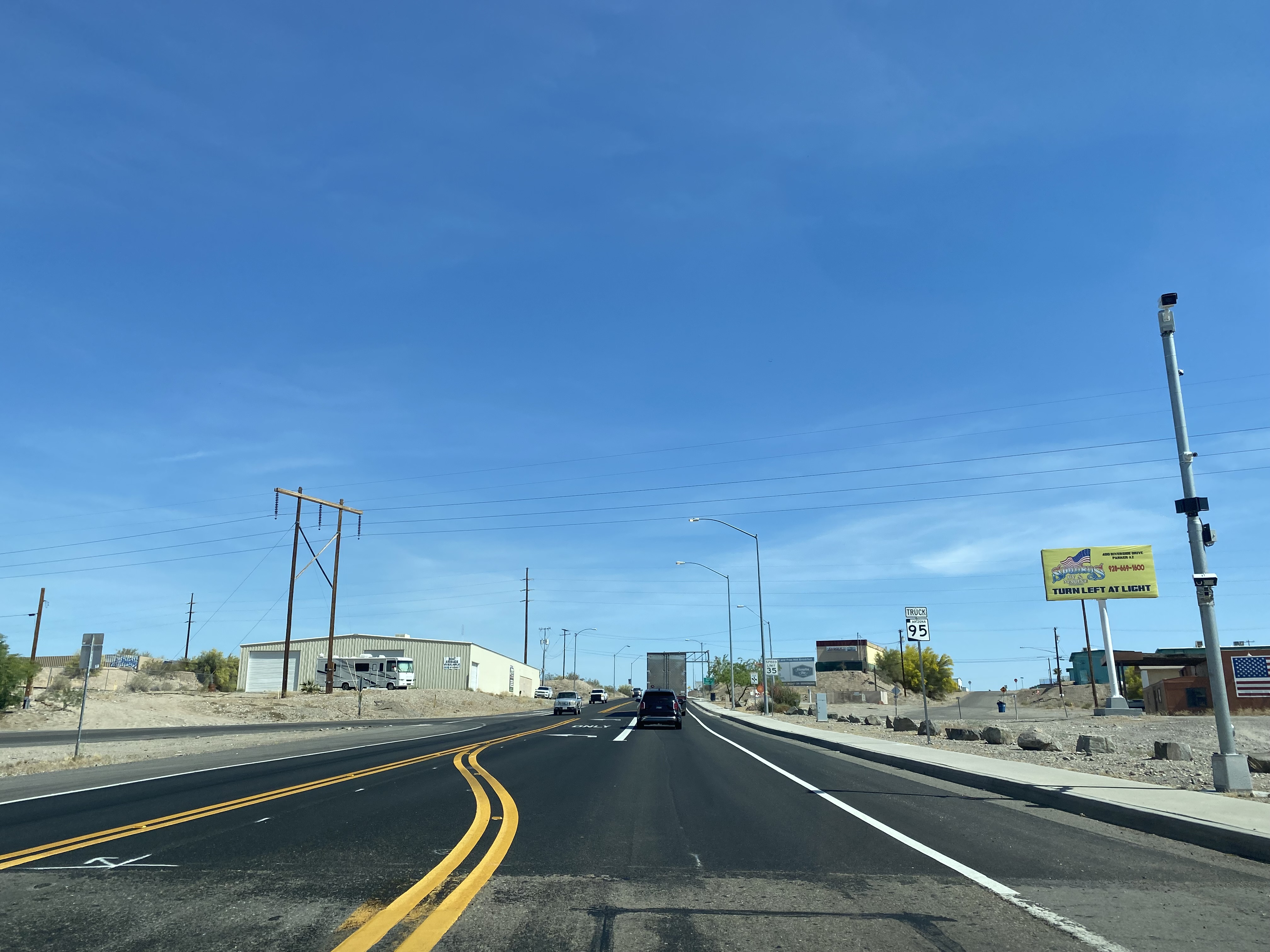
From northbound Arizona State Route 95 a guide sign denotes Arizona State Route 95 Truck as "To California State Route 62."
Johnson's Pass Road is one of the oldest highway corridors in California. Johnson's Pass was part of the Lake Tahoe Wagon Road as it was completed during 1856 over the Sierra Nevada. The pass would later be incorporated into the Pioneer Branch of the Lincoln Highway in 1913 and US Route 50 in 1926. Johnson's Pass Road would be bypassed by a new alignment of US Route 50 over Echo Summit in 1938. A replacement of the Meyers Grade east of Johnson's Pass would be opened to traffic in 1947. Johnson's Pass Road remains accessible to traffic and is still signed by the Lincoln Highway Association. Pictured as the blog cover is the view from the top of Johnson's Pass Road overlooking modern US Route 50 and Lake Tahoe. Part 1; the history of Johnson's Pass Much of the history of what become the Lake Tahoe Wagon Road is discussed in the September 1950 California Highways & Public Works during its Centennial Edition. The or...
Within the Truckee River Canyon in the Sierra Nevada range numerous abandoned portions of US Route 40 can be found alongside modern Interstate 80. This segment of highway was opened during 1926 as a bypass of the Dog Valley Grade which carried the early North Lincoln Highway and Victory Highway. The corridor of the Truckee River Canyon State Highway would be assigned as US Route 40 when the US Route System was commissioned during November 1926. During 1958 the segment of Interstate 80 between Boca, California and the Nevada state line was complete. When Interstate 80 opened east of Boca numerous obsolete portions of US Route 40 were abandoned. Some of these abandoned segments have been incorporated into the Tahoe-Pyramid Trail. Part 1; the history of US Route 40 in the Truckee River Canyon The Truckee River Canyon for centuries has been an established corridor of travel known to native tribes crossing the Sierra Nevada range. The first documented wagon crossi...
The corridor of Folsom of Sacramento County east to Placerville of El Dorado County has been a long established corridor of overland travel dating back to the California Gold Rush. The Folsom-Placerville corridor was once part of the path of the Lake Tahoe Wagon Road which became the first California State Highway and later the South Lincoln Highway. In time the South Lincoln Highway's surface alignment was inherited by US Route 50. The Folsom-Placerville corridor also includes the communities of; Clarksville, Shingle Springs and El Dorado. Part 1; the history of the Lake Tahoe Wagon Road, South Lincoln Highway and US Route 50 through Folsom-Placerville Folsom is located on the American River/Lake Natoma of eastern Sacramento County. That lands now occupied by the City of Folsom were part of Rancho Rio de los Americanos prior to the finding of gold at Sutter's Mill during 1848. During the California Gold Rush the lands of Rancho Rio de los Americanos were p...


Comments