Back in June of 2017 I set out to complete the last couple mountain passes in the Sierras that I had not driven over. I tried to find a new route that I had not taken before to start the trip which ended up being California State Route 124.

CA 124 is a small ten mile state highway entirely in Amador County which runs from CA 88 north to CA 16. I started CA 124 from the southern terminus at CA 88.

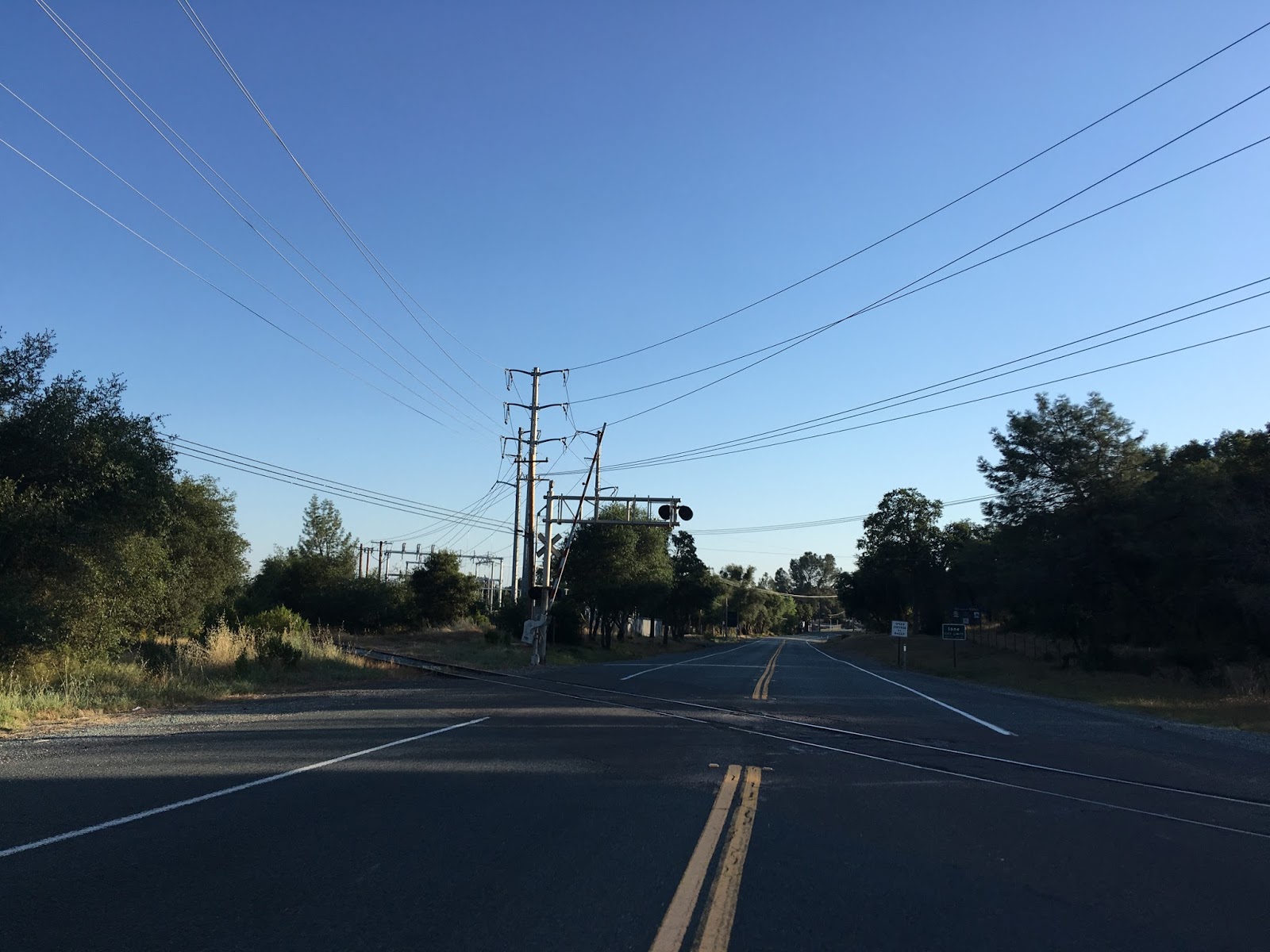
CA 124 northbound quickly crosses a small series of tracks and becomes Church Street in Ione. CA 124 junctions CA 104 at Main Street in downtown Ione.


Ione is a classic California Gold Rush town and certainly looks the part. Ione is only at 299 feet above sea level and wasn't an active mining community but was mainly used for supplying in addition to stage route access for larger towns in the Sierras. CA 104 actually passes through downtown Ione southwest on Main Street where it terminates at CA 88 not too far from the southern terminus of CA 124. CA 104 has a strange shape and runs almost directly to CA 99 west of Ione.


CA 124 north multiplexes CA 104 west on Main Street and over Dry Creek before splitting away on Preston Avenue.

CA 124 exiting Ione jumps to 65 MPH and apparently is part of the California Freeway and Expressway system. CA 124 terminates at CA 16 less than a mile from it's eastern terminus at CA 49.


CA 124 is a post-1964 California Highway renumbering route, but that isn't to say the history is simplistic. CA 124 has historic ties to CA 104, CA 88, Legislative Route Number 34, and LRN 97. Rather than try to explain everything I'll use the summary Daniel from CAhighways.org wrote up based off my notes from AAroads:
"Route 124 was a post 1964 route created from parts of the original Route 104 alignment and LRN 97. Originally it was Route 104 that ran north to Route 16 instead of it running through downtown Ione eastward via what was an unsigned portion of LRN 34 to Route 88. The state highway south of Ione was an unsigned part of LRN 97, for some reason the route north out of Ione still shows as a Route 104 but LRN 124 in 1964 but it finally shows the signage change by 1965. Really the realignment of Route 104 made sense since the route took a pretty wild north/south swing after being almost entirely east/west. The 1935 Amador County Map shows LRN 97 running to Ione on Dave Brubeck Road and maybe Marlette Street then using what became LRN 34 to continue eastward to Jackson. That would certainly explain what the thinking was with Route 104 in the early signed highway era. By 1940 the state highway map shows Route 88 coming to Ione. By 1955, Route 88 is still shown going through Ione but using part of the modern highway which can be seen changing from 1954. In 1960, Route 88 is shown shifting completely south of Ione in 1960."
The applicable maps referenced in the above text can be found here:
1935 Amador County Highway Map
1938 State Highway Map
1940 State Highway Map
1954 State Highway Map
1955 State Highway Map
1959 State Highway Map
1960 State Highway Map
1963 State Highway Map
1964 State Highway Map
1965 State Highway Map

CA 124 is a small ten mile state highway entirely in Amador County which runs from CA 88 north to CA 16. I started CA 124 from the southern terminus at CA 88.

CA 124 northbound quickly crosses a small series of tracks and becomes Church Street in Ione. CA 124 junctions CA 104 at Main Street in downtown Ione.


Ione is a classic California Gold Rush town and certainly looks the part. Ione is only at 299 feet above sea level and wasn't an active mining community but was mainly used for supplying in addition to stage route access for larger towns in the Sierras. CA 104 actually passes through downtown Ione southwest on Main Street where it terminates at CA 88 not too far from the southern terminus of CA 124. CA 104 has a strange shape and runs almost directly to CA 99 west of Ione.


CA 124 north multiplexes CA 104 west on Main Street and over Dry Creek before splitting away on Preston Avenue.

CA 124 exiting Ione jumps to 65 MPH and apparently is part of the California Freeway and Expressway system. CA 124 terminates at CA 16 less than a mile from it's eastern terminus at CA 49.


CA 124 is a post-1964 California Highway renumbering route, but that isn't to say the history is simplistic. CA 124 has historic ties to CA 104, CA 88, Legislative Route Number 34, and LRN 97. Rather than try to explain everything I'll use the summary Daniel from CAhighways.org wrote up based off my notes from AAroads:
"Route 124 was a post 1964 route created from parts of the original Route 104 alignment and LRN 97. Originally it was Route 104 that ran north to Route 16 instead of it running through downtown Ione eastward via what was an unsigned portion of LRN 34 to Route 88. The state highway south of Ione was an unsigned part of LRN 97, for some reason the route north out of Ione still shows as a Route 104 but LRN 124 in 1964 but it finally shows the signage change by 1965. Really the realignment of Route 104 made sense since the route took a pretty wild north/south swing after being almost entirely east/west. The 1935 Amador County Map shows LRN 97 running to Ione on Dave Brubeck Road and maybe Marlette Street then using what became LRN 34 to continue eastward to Jackson. That would certainly explain what the thinking was with Route 104 in the early signed highway era. By 1940 the state highway map shows Route 88 coming to Ione. By 1955, Route 88 is still shown going through Ione but using part of the modern highway which can be seen changing from 1954. In 1960, Route 88 is shown shifting completely south of Ione in 1960."
The applicable maps referenced in the above text can be found here:
1935 Amador County Highway Map
1938 State Highway Map
1940 State Highway Map
1954 State Highway Map
1955 State Highway Map
1959 State Highway Map
1960 State Highway Map
1963 State Highway Map
1964 State Highway Map
1965 State Highway Map
Comments