While on a recent Bay Area trip I primarily focused on routes I hadn't previously taken or didn't really research much in the past. One such route was Interstate 505 which as originally conceived was meant to be part of Interstate 5W.

I-505 is a fairly unassuming 33 mile three digit Interstate connecting I-80 near Vacaville in Solano County north to I-5 near Dunnigan in Yolo County. I-505's most significant claim to fame was that it was approved to be part of I-5W.
The entire route of I-505W was part of Legislative Route Number 90 before the 1964 State Highway renumbering. LRN 90 was approved by the State Legislature in 1933 according to CAhighways.org.
CAhighways.org on LRN 90
LRN 90 was not a signed highway before the 1964 State Highway renumbering. The alignment of LRN 90 was far from the straight north/south shot that I-505 is today. The route of LRN 90 between US 40 near Vacaville and US 99W near Zamora/Dunnigan can be seen on the 1938 State Highway Map.
1938 State Highway Map
The 1935 California Division of Highways Maps of Solano County and Yolo County provided more in depth detail on the original alignment of LRN 90.
1935 Solano County Highway Map
1935 Yolo County Highway Map
By 1946 LRN 90 was straightened to reach US 99W closer to Dunnigan at it's north terminus.
1946 State Highway Map
LRN 90 became far more important during the first proposed Interstate Highway System in 1947. LRN 90 was selected to become part of I-5W but the 1947 Interstate plans didn't come to fruition. The next stage in progress regarding LRN 90 came by 1948 when the southern segment connecting to US 40 was straightened.
1948 State Highway Map
The present Interstate Highway system was approved by 1958. I-5 was run through Central California with the I-5E spur following the corridor of US 99 and I-5W following the corridor below:
- Modern CA 132 west to I-580.
- Modern I-580 west to I-80.
- Modern I-80 east to I-505.
- Modern I-505 to I-505.
Segments of what is now I-580 were actually signed in field along US 50 as I-5W. Interestingly what ultimately killed I-5W and I-5E was the 1964 California State Highway Renumbering. The 1964 Renumbering had several major aims but two of the larger goals were to eliminate long multiplexes and suffixed routes. LRN 505 appears on the 1964 State Highway Map on what was LRN 90.
1964 State Highway Map
CAhighways has more substantial background on I-5W which can be found below.
CAhighways.org on I-5 and I-5W
According to CAhighways.org I-505 had a temporary signed routing on the path of LRN 90 before 1972. The entirety of I-505 was completed to freeway standards by 1977.
I-505 can be seen partially complete on the 1975 State Highway Map. Only the segment of I-505 north from I-80 to CA 128 in Winters was built to full freeway standards.
1975 State Highway Map
By the 1977 State Highway Map I-505 is shown completed to freeway standards north to Madison.
1977 State Highway Map
On the 1981 State Highway Map the full route of I-505 is shown at freeway standards.
1981 State Highway Map
With all the above in mind my drive on I-505 wasn't a full one but rather only to CA 128 northbound from I-80 west. I-505 has a somewhat bland looking junction from I-80.


I-505 is a fairly fast stretch of freeway which opens up immediately to 70 MPH.

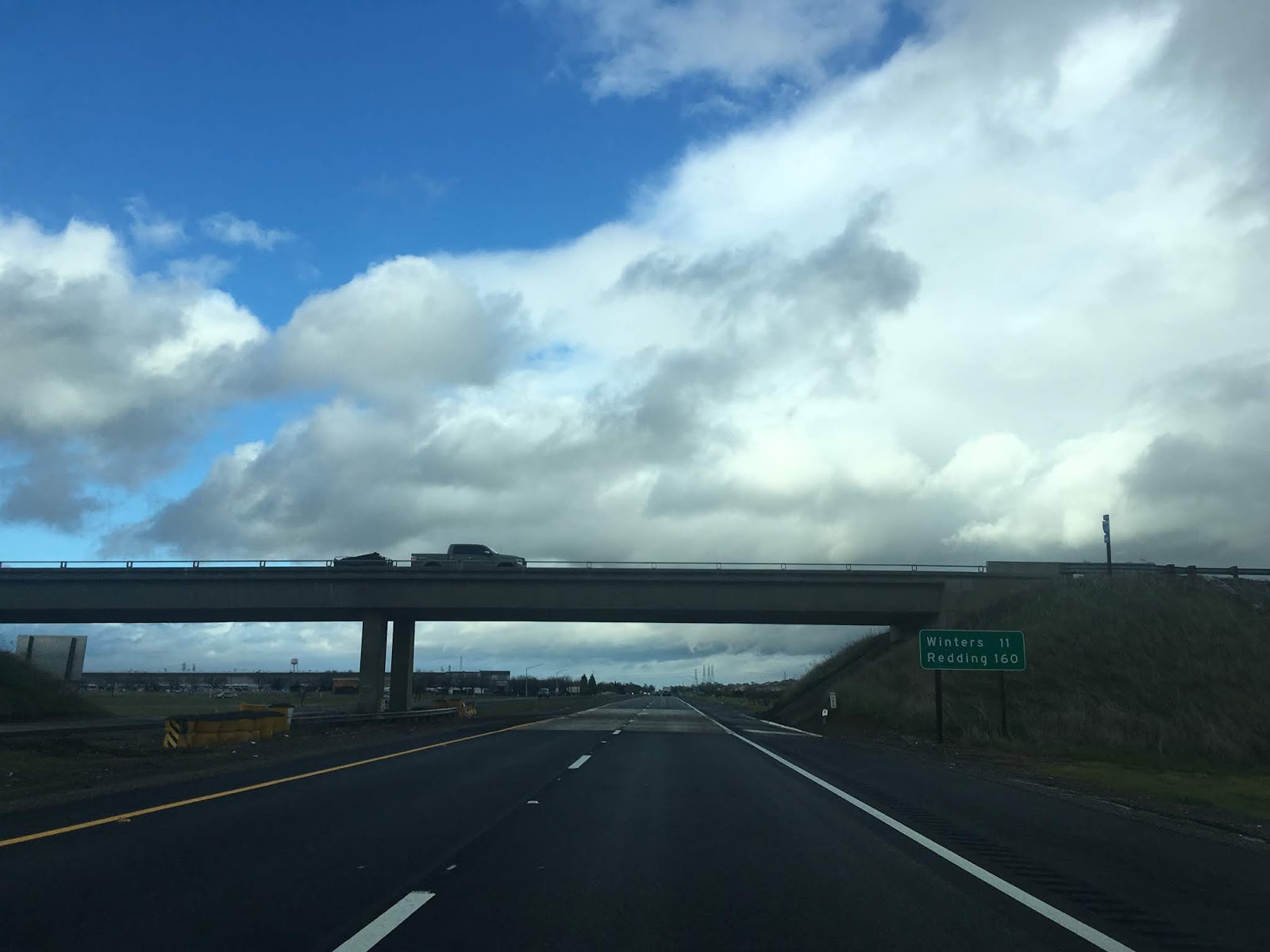
Winters is signed as 11 miles to the north on I-505.

North of Putah Creek Road I-505 enters Yolo County. CA 128/Signed County Route E6 is located off Exit 11 in Winters.


I-505 is a fairly unassuming 33 mile three digit Interstate connecting I-80 near Vacaville in Solano County north to I-5 near Dunnigan in Yolo County. I-505's most significant claim to fame was that it was approved to be part of I-5W.
The entire route of I-505W was part of Legislative Route Number 90 before the 1964 State Highway renumbering. LRN 90 was approved by the State Legislature in 1933 according to CAhighways.org.
CAhighways.org on LRN 90
LRN 90 was not a signed highway before the 1964 State Highway renumbering. The alignment of LRN 90 was far from the straight north/south shot that I-505 is today. The route of LRN 90 between US 40 near Vacaville and US 99W near Zamora/Dunnigan can be seen on the 1938 State Highway Map.
1938 State Highway Map
The 1935 California Division of Highways Maps of Solano County and Yolo County provided more in depth detail on the original alignment of LRN 90.
1935 Solano County Highway Map
1935 Yolo County Highway Map
By 1946 LRN 90 was straightened to reach US 99W closer to Dunnigan at it's north terminus.
1946 State Highway Map
LRN 90 became far more important during the first proposed Interstate Highway System in 1947. LRN 90 was selected to become part of I-5W but the 1947 Interstate plans didn't come to fruition. The next stage in progress regarding LRN 90 came by 1948 when the southern segment connecting to US 40 was straightened.
1948 State Highway Map
The present Interstate Highway system was approved by 1958. I-5 was run through Central California with the I-5E spur following the corridor of US 99 and I-5W following the corridor below:
- Modern CA 132 west to I-580.
- Modern I-580 west to I-80.
- Modern I-80 east to I-505.
- Modern I-505 to I-505.
Segments of what is now I-580 were actually signed in field along US 50 as I-5W. Interestingly what ultimately killed I-5W and I-5E was the 1964 California State Highway Renumbering. The 1964 Renumbering had several major aims but two of the larger goals were to eliminate long multiplexes and suffixed routes. LRN 505 appears on the 1964 State Highway Map on what was LRN 90.
1964 State Highway Map
CAhighways has more substantial background on I-5W which can be found below.
CAhighways.org on I-5 and I-5W
According to CAhighways.org I-505 had a temporary signed routing on the path of LRN 90 before 1972. The entirety of I-505 was completed to freeway standards by 1977.
I-505 can be seen partially complete on the 1975 State Highway Map. Only the segment of I-505 north from I-80 to CA 128 in Winters was built to full freeway standards.
1975 State Highway Map
By the 1977 State Highway Map I-505 is shown completed to freeway standards north to Madison.
1977 State Highway Map
On the 1981 State Highway Map the full route of I-505 is shown at freeway standards.
1981 State Highway Map
With all the above in mind my drive on I-505 wasn't a full one but rather only to CA 128 northbound from I-80 west. I-505 has a somewhat bland looking junction from I-80.


I-505 is a fairly fast stretch of freeway which opens up immediately to 70 MPH.

Winters is signed as 11 miles to the north on I-505.
North of Putah Creek Road I-505 enters Yolo County. CA 128/Signed County Route E6 is located off Exit 11 in Winters.


Comments