
Pennsylvania Route 291 over the George C. Platt Bridge

George C. Platt Bridge is an 8,780-foot-long cantilever through truss span located in the city of Philadelphia.  The George C. Platt Bridge carries Pennsylvania Route 291 via Penrose Avenue over the Schuylkill River east of Interstate 95 towards Interstate 76.  The George C. Platt Bridge opened during 1951 and was a replacement for the earlier Penrose Ferry Bridge. 


Part 1; the history of the George C. Platt Bridge

Prior to the construction of George C. Platt Bridge traffic over the Schuylkill River was carried by way of the last generation Penrose Ferry Bridge.  The last Penrose Ferry Bridge initially was completed over the Schuylkill River by 1878 and featured an iron swing span design.  The iron swing span of the Penrose Ferry Bridge can be seen during 1880 in a Philadelphia Department of Records photo (courtesy Philadelphia.blogspot.com).

The iron swing span of the Penrose Ferry Bridge was replaced by a steel swing span during 1900.  The steel swing span of Penrose Ferry Bridge can be seen below in a Philadelphia Department of Records photo (courtesy bridgerhunter.com) dated to 1910.

The original iteration of Pennsylvania Route 191 was aligned over the Penrose Ferry Bridge by 1928.  Pennsylvania Route 191 was aligned between US Route 1/Baltimore Pike and Broad Street in downtown Philadelphia via Penrose Avenue.  The Penrose Ferry Bridge would remain in service until March 29, 1947, when it was struck by a container ship.  Pennsylvania Route 191 and the Penrose Ferry Bridge can be seen below on the 1948 Rand McNally Map of Philadelphia.  


The damage to the Penrose Ferry Bridge necessitated it be replaced by a modernized span.  The Penrose Avenue Bridge would open on September 12, 1951, as part of an extended Pennsylvania Route 291.  The Penrose Avenue Bridge was a fixed 8,780-foot-long cantilever through truss span which provided more utility than the previous swing span of the Penrose Ferry Bridge.  The Penrose Ferry Bridge can be seen carrying Pennsylvania Route 291 over the Schuylkill River on the 1956 Gousha Map of Philadelphia.  

A steel divider was installed on the Penrose Avenue during 1967 to mitigate head on collisions.  The Penrose Avenue Bridge was renamed in honor of Civil War figure George Crawford Platt during 1979.  During 1984 and 2011-2014 the George C. Platt Bridge was rehabilitated.  Below the fixed span of the George C. Platt Bridge can be seen a D. Thomsen photo (courtesy bridgehunter.org). 


Part 2; a drive on the George C. Platt Bridge

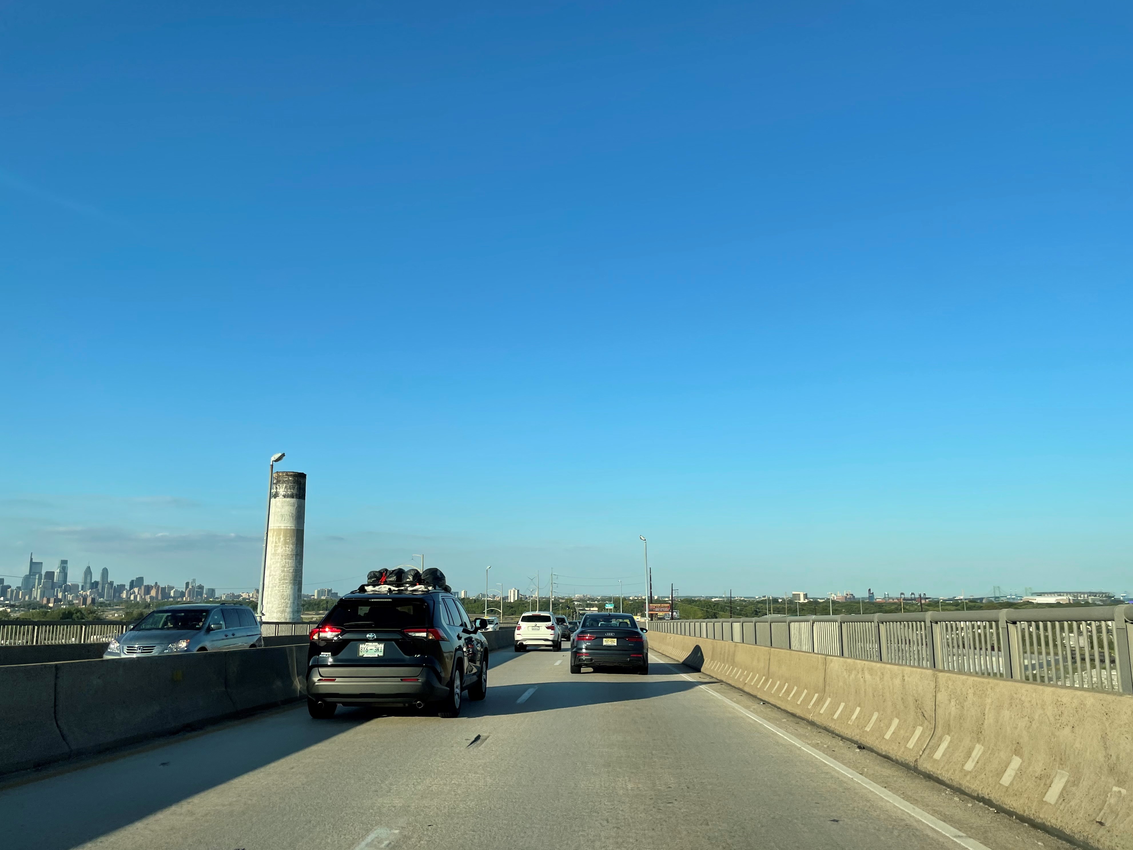
The below sequence of photos was taken by Tom Fearer during the 2022 Philadelphia, PA National Road Meet along the George C. Platt Bridge.  Below Pennsylvania Route 291 can be seen crossing the George C. Platt Bridge east from Interstate 95 over the Schuylkill River towards Interstate 76.  


Comments

Popular posts from this blog

Trimmer Springs Road (Fresno County)

Trimmer Springs Road is an approximately forty-mile rural highway located in Fresno County.  The corridor begins near in California State Route 180 in Centerville and extends to Blackrock Road at the Kings River in the Sierra Nevada range near the Pacific Gas & Electric Company town of Balch Camp. The roadway is named after the former Trimmer Springs Resort and was originally constructed to facilitate access to the Sanger Log Flume.  Trimmer Springs Road was heavily modified and elongated after construction of Pine Flat Dam broke ground in 1947.   Part 1; the history of Trimmer Springs Road Much of the original alignment of Trimmer Springs Road was constructed to facilitate access to the Sanger Log Flume.   The  Kings River Lumber Company  had been established in 1888 in the form of a 30,000-acre purchase of forest lands in Converse Basin.  This purchase lied immediately west of Grant Grove and came to be known as "Millwood."  The co...

When was Ventura Avenue east of downtown Fresno renamed to Kings Canyon Road? (California State Route 180)

California State Route 180 was one of the original Sign State Routes designated in August 1934.  The highway east of Fresno originally utilized what was Ventura Avenue and Dunlap Road to reach what was then General Grant National Park.  By late year 1939 the highway was extended through the Kings River Canyon to Cedar Grove.   In 1940 General Grant National Park would be expanded and rebranded as Kings Canyon National Park.  The Kings Canyon Road designation first appeared in publications circa 1941 when the California State Route 180 bypass of Dunlap was completed.  Kings Canyon Road ultimately would replace the designation of Dunlap Road from Dunlap to Centerville and Ventura Avenue west to 1st Street in Fresno.   The Kings Canyon Road would remain largely intact until March 2023 when the Fresno Council designated Cesar Chavez Boulevard.  Cesar Chavez Boulevard was designated over a ten-mile corridor over what was Kings Canyon Road, remaini...

Interstate 99 at 30

When it comes to the entirety of the Interstate Highway System, Interstate 99, when fully completed, is nothing more than 161 miles of a roughly 48,000-mile system (0.3% of total length).  Yet, to more than just a handful of people, the number '99' rubs them the wrong way. Interstate 99 follows the path of two US Highway Routes - US 220 from the Pennsylvania Turnpike in Bedford north to Interstate 80 and then to US 15/Interstate 180 in Williamsport.  It then follows US 15 from Williamsport north to Interstate 86 in Corning, New York. Interstate 99 runs with US 220 through much of Central Pennsylvania. (Doug Kerr) US 220 from Cumberland, Maryland to Interstate 80 and US 15 north of Williamsport were designated part of the Appalachian Highway System in 1965.  Construction to upgrade both corridors progressed steadily but slowly.  In 1991, the two corridors were included as a National High Priority Corridor.  The route from Cumberland to Corning consisted of High P...