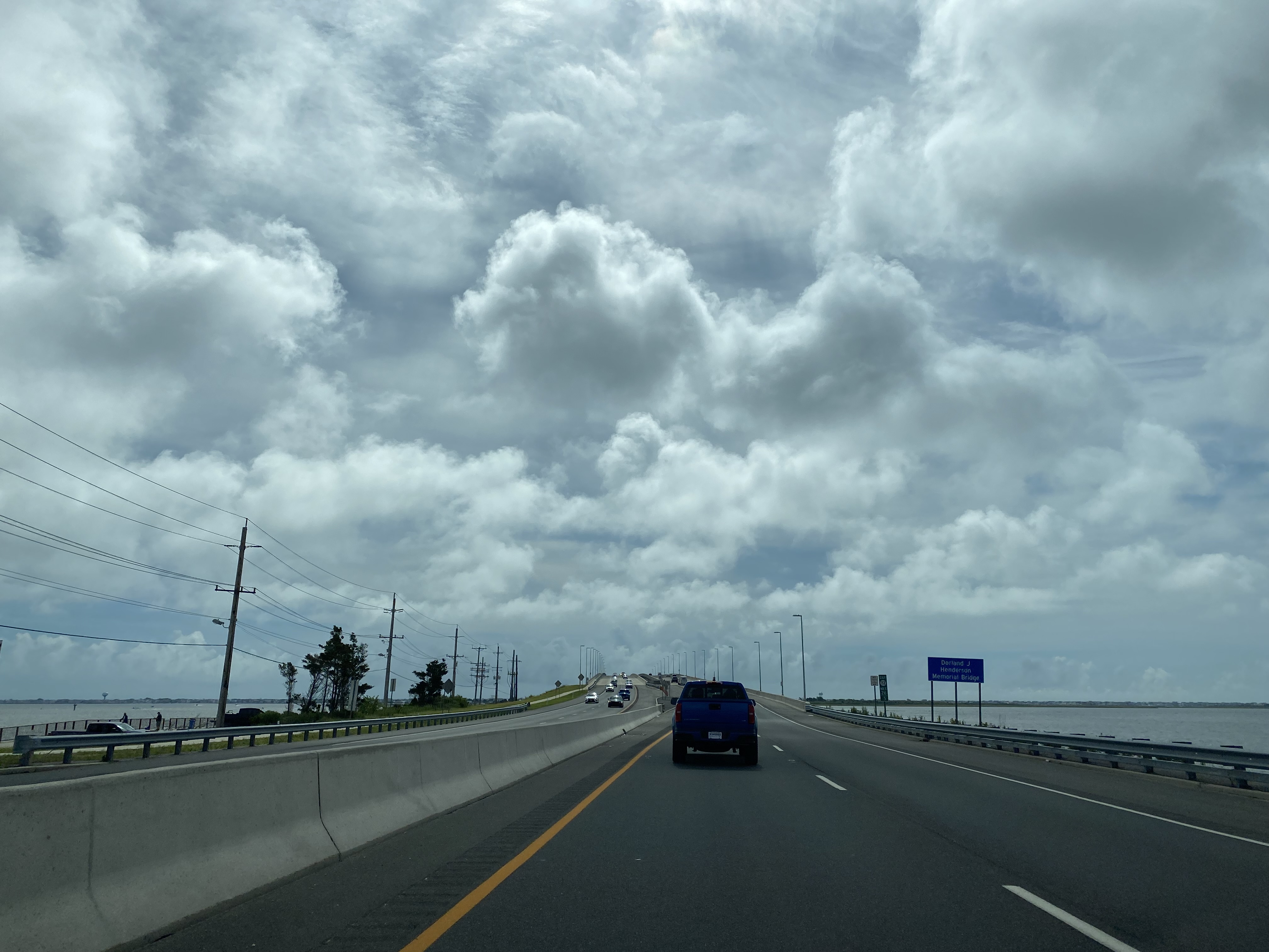
New Jersey Route 72 is a 28.74-mile State Highway. New Jersey Route 72 begins at New Jersey Route 70 at the Four Mile Circle of Woodland Township and terminates to the east at Ship Bottom on Long Beach Island at Long Beach Boulevard (Ocean County Route 607). New Jersey Route 72 was designated during 1953 over what had been previously New Jersey Highway S40. Featured as the blog cover is a view on eastbound New Jersey Route 72 approaching the 2016 span of the Dorland J. Henderson Memorial Bridge at Manahawkin Bay.
Part 1; the history of New Jersey Route 72
What was to become New Jersey Route 72 entered the State Highway System as New Jersey Highway S40 during 1927. New Jersey Highway S40 as originally plotted began at New Jersey Highway 40 at Four Mile of Woodland Township and terminated at US Route 9 at Manahawkin. New Jersey Highway S40 was intended to be a spur of New Jersey Highway 40 and can be seen on a map of the State Highways defined by 1927 New Jersey Legislative Chapter 319.
No later than 1939 New Jersey Highway S40 was extended east from US Route 9 to Ship Bottom and Long Beach Boulevard via 8th Street on Long Beach Island. The extended New Jersey Highway S40 can be seen on the
1939 Rand McNally Map of New Jersey.
New Jersey Highway S40 was extended into Long Beach Island via the Long Beach Island Bridge. The Long Beach Island Bridge was completed during 1914 and originally ran alongside a trestle of the Long Beach Railroad. The Long Beach Railroad trestle was completed during 1885-86 and eventually was washed out during 1935. The Long Beach Island Bridge can be seen below in an undated photo.
New Jersey Highway S40 was reassigned as New Jersey Route 72 during the 1953 New Jersey State Highway Renumbering. New Jersey Route 72 can be seen on the
1956 Shell Highway Map of New Jersey.
During 1959 the original span of the Manahawkin Bay Bridge opened as replacement for the Long Beach Island Bridge. The original
Manahawkin Bay Bridge is a deck girder design which is 2,400.1 feet in length.
During the 1960s a freeway extension of New Jersey Route 72 was proposed. The New Jersey Route 72 freeway was proposed to begin at Four Mile and intersect the New Jersey Turnpike in Westampton. From Westampton, New Jersey Route 72 was proposed to connect with planned Interstate 895 which would provide access to Pennsylvania. Existing New Jersey Route 72 east of Four Mile was proposed to be upgraded to a four-lane expressway. The proposed New Jersey Route 72 freeway along with Interstate 895 were cancelled during the 1980s.
During 1969 New Jersey Route 72 in Manahawkin was realigned off Bay Avenue onto what is now known as Barnegat Road. For a time, Bay Avenue was reassigned as New Jersey Route 180. New Jersey Route 72 on Barnegat Road and New Jersey Route 180 on Bay Avenue can be seen alongside each other on the 1972 United State Geological Survey map of Wilmington. It is unclear when New Jersey Route 180 was deleted as a State Highway.
During 2000 the Manahawkin Bay Bridge was renamed in honor of New Jersey Department of Transportation Engineer Donald J. Henderson. During 2007 an
Environmental Assessment was completed pertaining to the feasibility of twinning the Dorland J. Henderson Memorial Bridge. Construction of the new Dorland J. Henderson Memorial Bridge span began during May 2013 and was completed during July 2016. Following the opening of the new span of the Dorland J. Henderson Memorial Bridge the original span went through the process of rehabilitation between November 2016 to November 2019.
Part 2; a drive on New Jersey Route 72
From New Jersey Route 70 at Four Mile Circle in Burlington County eastbound traffic can branch away onto New Jersey Route 72.
As New Jersey Route 72 eastbound beings Manahawkin is listed as 22 miles away whereas Long Beach Island is listed as 28 miles.
New Jersey Route 72 eastbound skirts the boundary of Brendan T. Byrne State Forest and intersects Burlington County Route 563.
New Jersey Route 72 eastbound crosses under a rail underpass and intersects Burlington County Route 532.
New Jersey Route 72 eastbound enters Ocean County and intersects Ocean County Route 539.
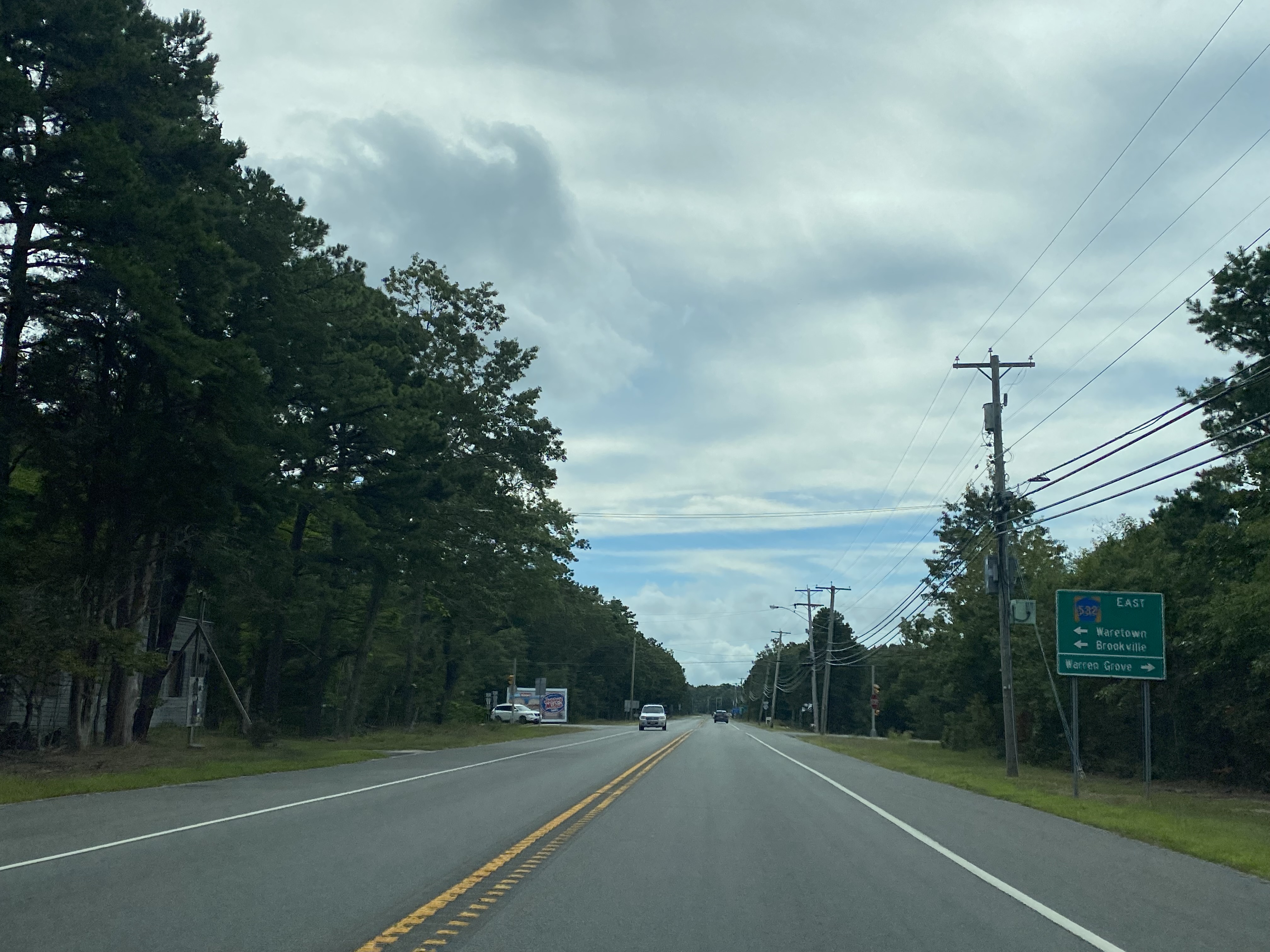
New Jersey Route 72 eastbound intersects Ocean County Routes 610 and 532 at Warren Grove Road.
New Jersey Route 72 eastbound intersects Ocean County Route 554 at Bay Avenue. Barnegat and northbound Garden State Parkway traffic are directed to follow Ocean County Route 554. Traffic headed towards the southbound Garden State Parkway are directed to stay on New Jersey Route 72.
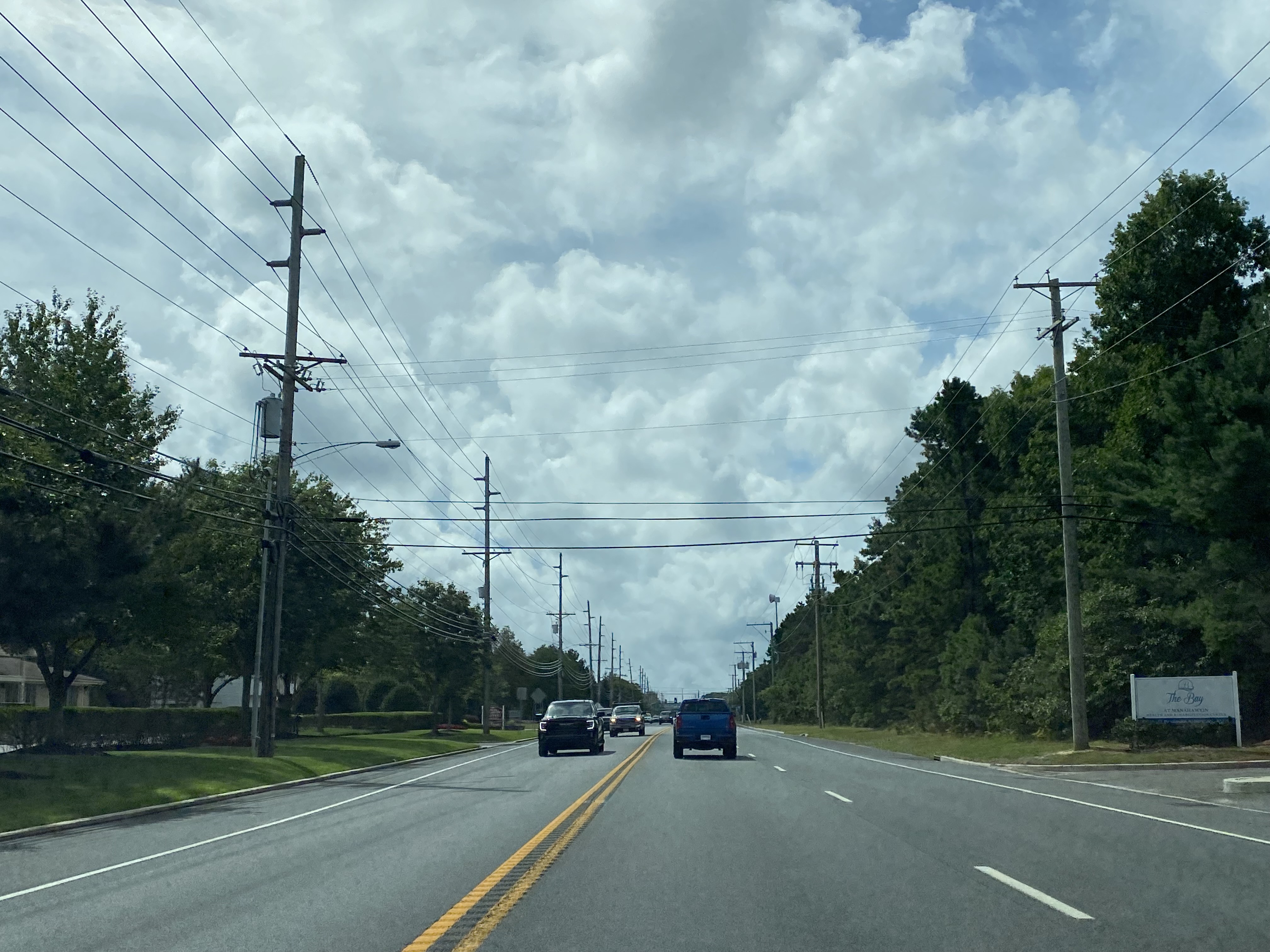
New Jersey Route 72 eastbound approaches Manahawkin and intersects the Garden State Parkway.
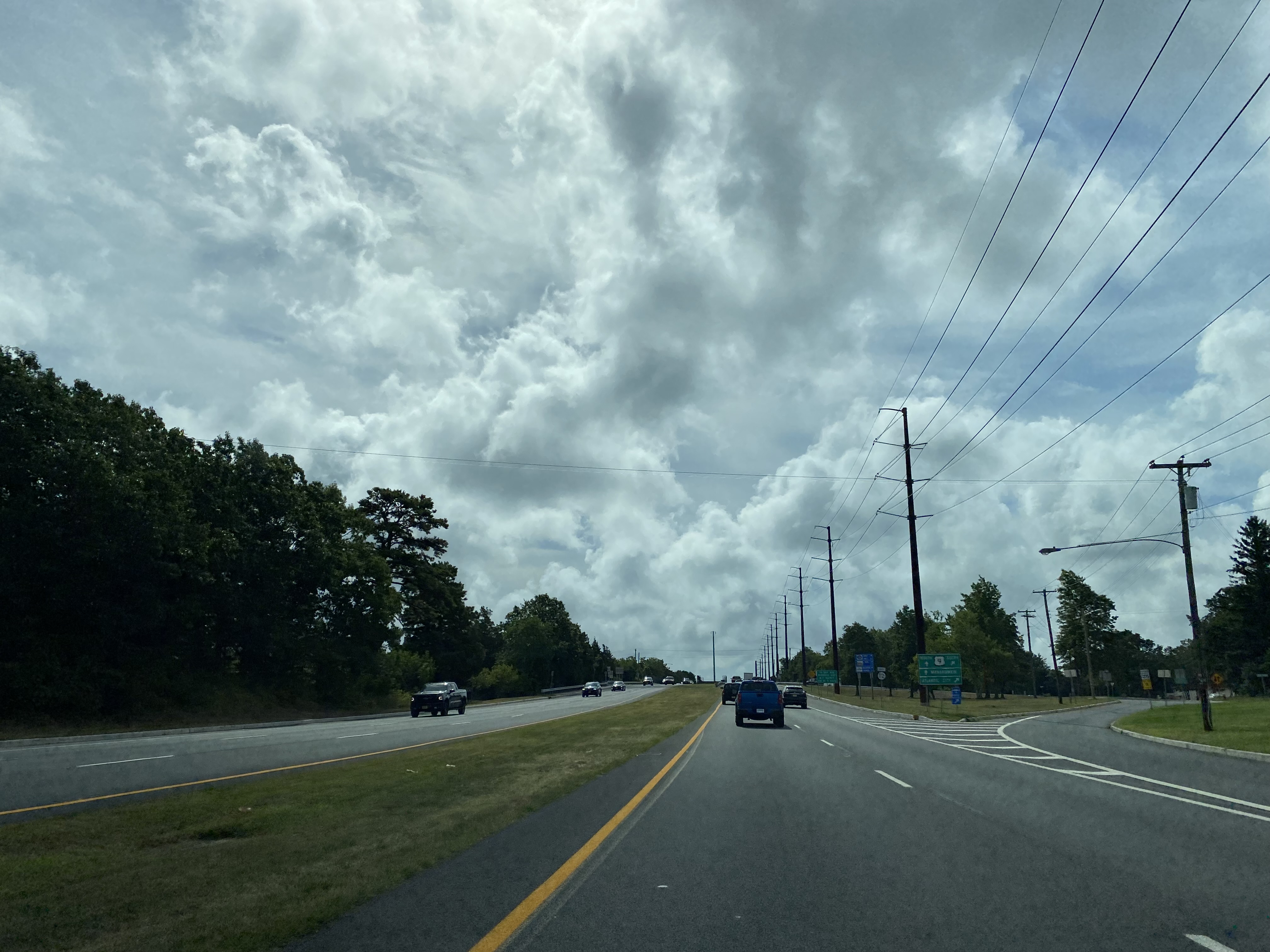
New Jersey Route 72 eastbound enters Manahawkin on Barnegat Road and intersects US Route 9.
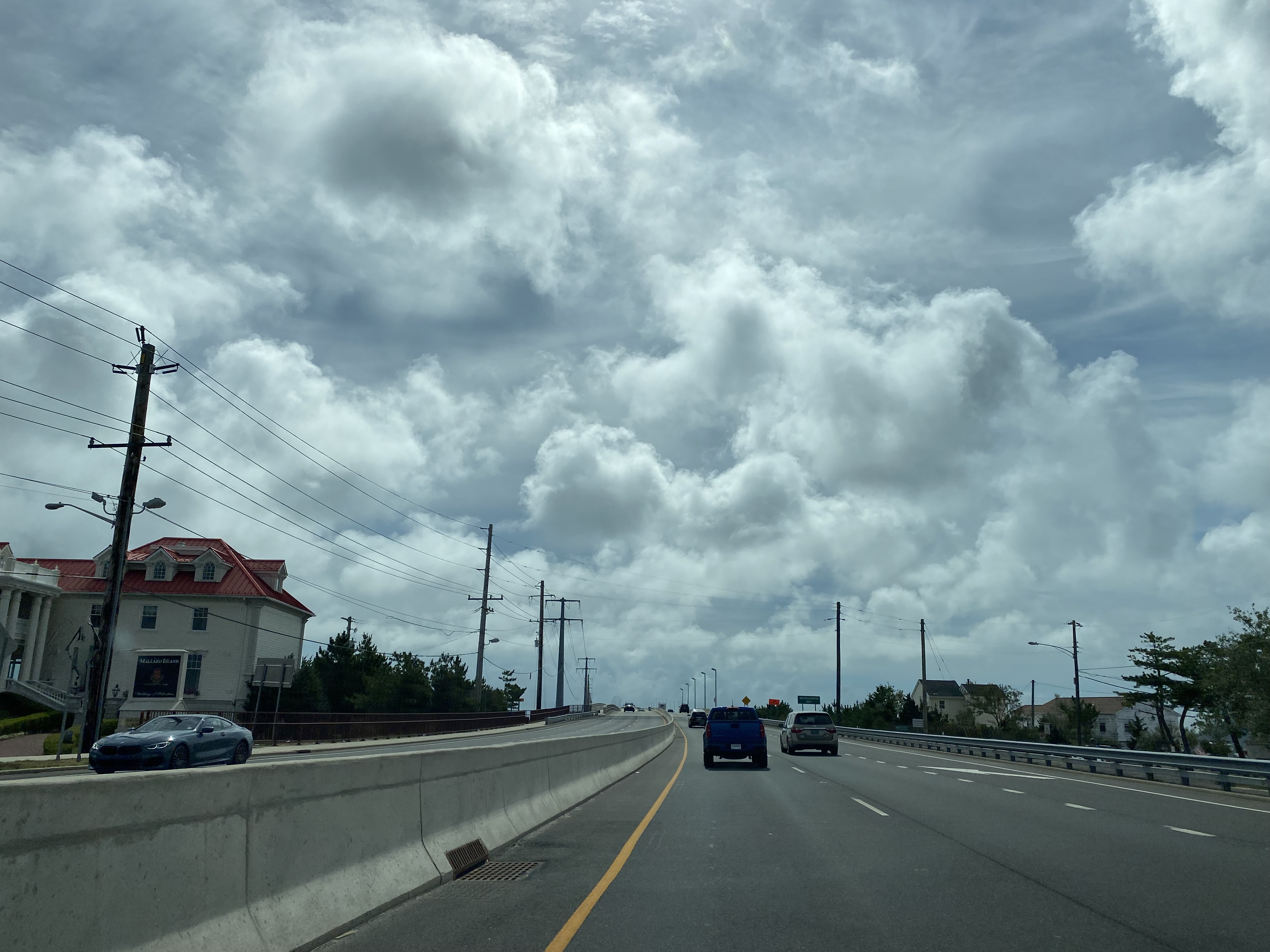
New Jersey Route 72 eastbound follows Barnegat Road to the 2016 span of the Donald J. Henderson Bridge at Manahawkin Bay. New Jersey Route 72 eastbound crosses the Dorland J. Henderson Bridge to Cedar Bonnet Island.
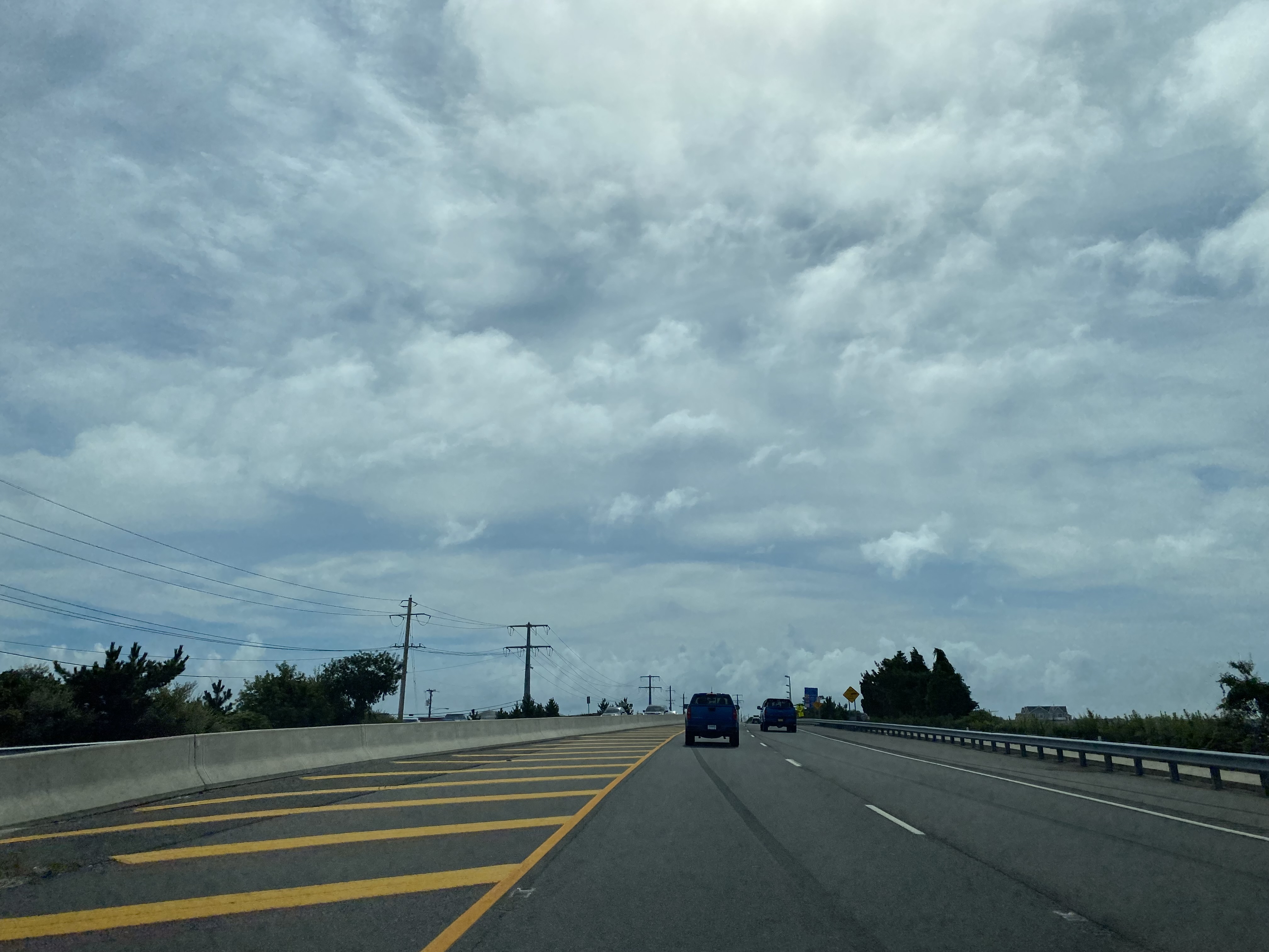
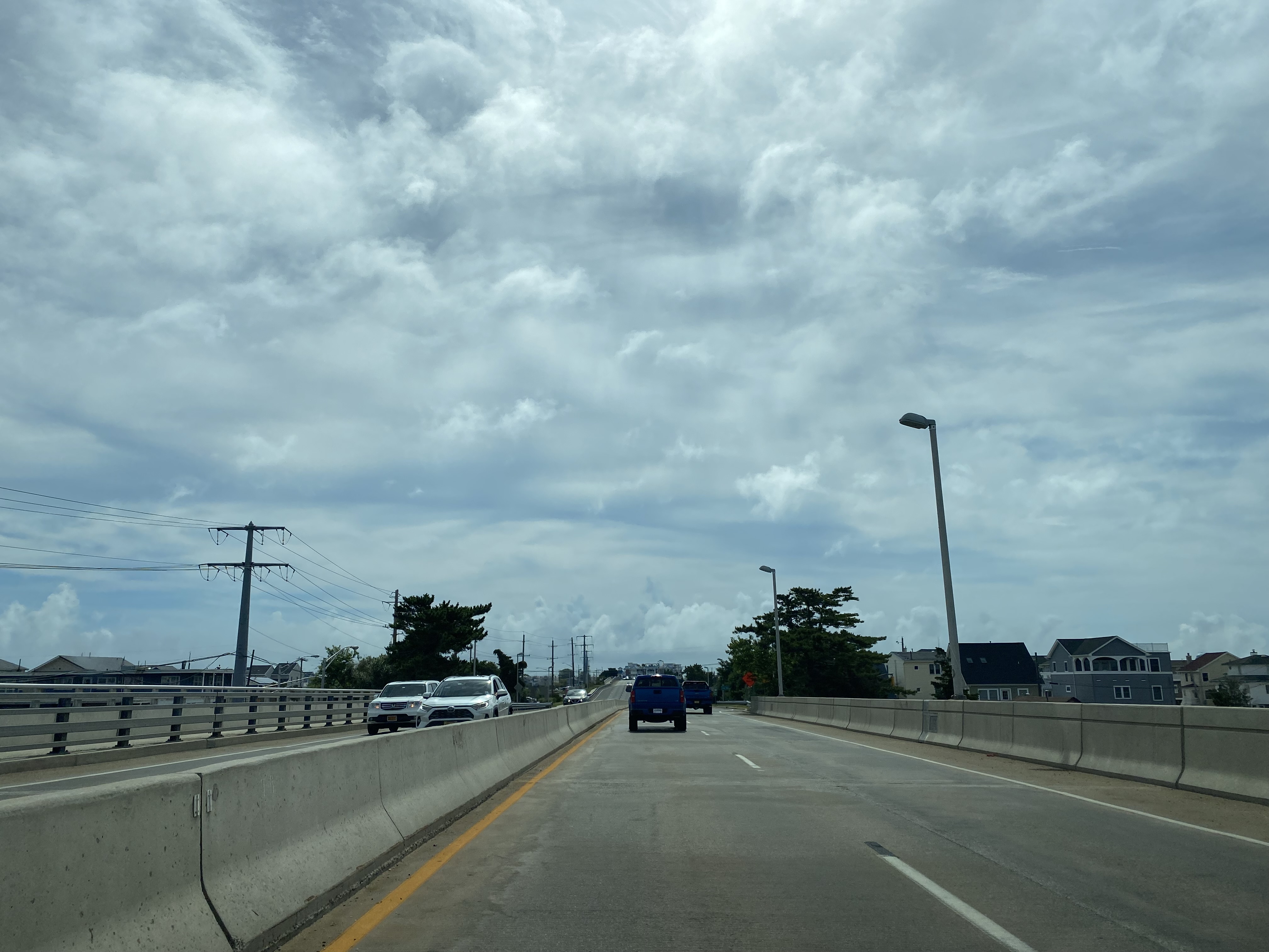
New Jersey Route 72 eastbound crosses over Bonnet Island and enters Ship Botton on Long Beach Island. Eastbound New Jersey Route 72 splits onto a one-way couplet on 9th Street and terminates at Ocean County Route 607/Long Beach Boulevard.


Comments