
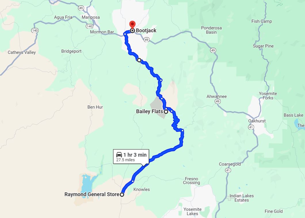
The combined corridor of Madera County Road 800 and Indian Peak Road is located in the western Sierra Nevada Mountains. The combined corridor serves to connect traffic from Raymond to Bootjack via the ghost town of Bailey Flats. Road 800 is an approximately seventeen-mile highway which begins at Road 613 near Raymond and ends the Mariposa County line at Indian Peak Road. The ten most northbound miles of Road 800 has a dirt surface which follows much of the course of the forking Chowchilla River. The approximately ten-mile Indian Peak Road begins as a dirt surface highway and becomes progressively more modernized approaching California State Route 49 near Bootjack. Pictured as the blog cover is the 1956 Middle Fork Chowchilla River Bridge along Road 800.
Part 1; the history of Madera County Road 800 (formerly Bailey Flats Road) and Indian Peak Road
The combined corridor of Madera County Road 800 and Indian Peak Road serves the remote ghost town of Bailey Flats in the Sierra Nevada Mountains. Bailey Flats is located in northern Madera County at the East Fork Chowchilla River near the Mariposa County line.
Bailey Flats was named after Gillium Baley a settler from Gallatin, Illinois. Baley emigrated to California with his family during 1858-1859 and initially settle in Visalia. Baley would move to the original Fresno County seat of Millerton during 1860. While in Millerton, Baley would stake mining claims along the San Joaquin River, Fresno River and Chowchilla River. Baley's mining claims along the Chowchilla River were located near the confluence of the three forks of the watershed at what came to be known as "Bailey Flats." Baley would establish his homestead along the Chowchilla River during 1862-1863.
Baley would be elected as Fresno County judge during 1867 and would return to Millerton. Baley would remain the Fresno County Judge during the change of county seat to Fresno in 1874 and would retire in 1878. Following his retirement Baley would return to Bailey Flats.
Bailey Flats and Grub Gulch are located in Township 6 South, Range 20 East which can be seen on the 1891 Thompson Atlas of Fresno County. Grub Gluch is shown at the time not to have a direct road connection with Bailey Flats but property along the East Fork Chowchilla River belonging to Mary E Acton can be seen. Madera County would split from what was northern Fresno County on May 16, 1893.


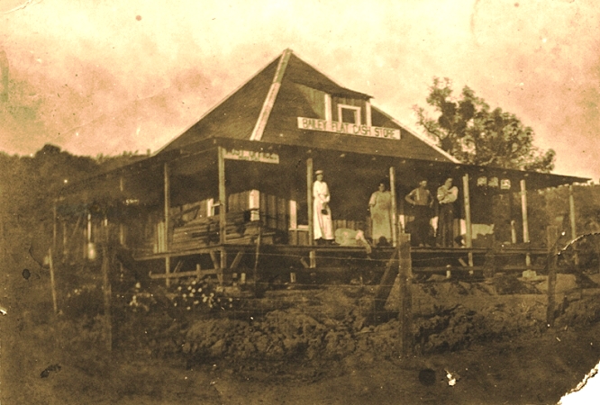
Following the death of Gillium Bailey during November 1895 a small community would begin to develop at Bailey Flats. The Bailey Flats School opened in 1900 and the community once had a general store (the below image is image hosted at cagenweb.org).
Bailey Flats can be seen connected to the Grub Gulch Mine via the Acton Grade on the 1912 United States Geological Survey Map of Mariposa. The road through Bailey Flats is shown to terminate to the west at Coleman Flat. No north/south road following the forks of the Chowchilla River is displayed.

Bailey Flats obtained Post Office service in 1913 and was renamed as "Mist." Bailey Flats can be seen on the 1914 Smith Map of Madera County in Township 6 South, Range 20 East.

Part of what was to become Bailey Flats Road can be seen branching north of Raymond over the Chowchilla River through Deep Hollow to what is now Road 820 on the 1917 California State Automobile Association Map.

The Mist Post Office would be shuttered in 1935 and service would move to Raymond. Mist along with the completed Bailey Flats Road can be seen on the 1935 Division of Highways Map of Madera County. Bailey Flats Road is shown spanning from Raymond north to the Mariposa County line where it became Indian Peak Road.

Mist can be seen connected the outskirts of Bootjack on the 1935 Division of Highways Map of Mariposa County. As originally configured California State Route 49 ended in Mariposa. California State Route 49 would not be completed between Mariposa and Oakhurst (via Bootjack) until 1966.

The Bailey Flats School would close in 1947. Today the only traces of Bailey Flats remaining are a handful of abandoned buildings. Bailey Flats is no longer displayed along Bailey Flats Road on the 1947 United States Geological Survey Map of Mariposa.

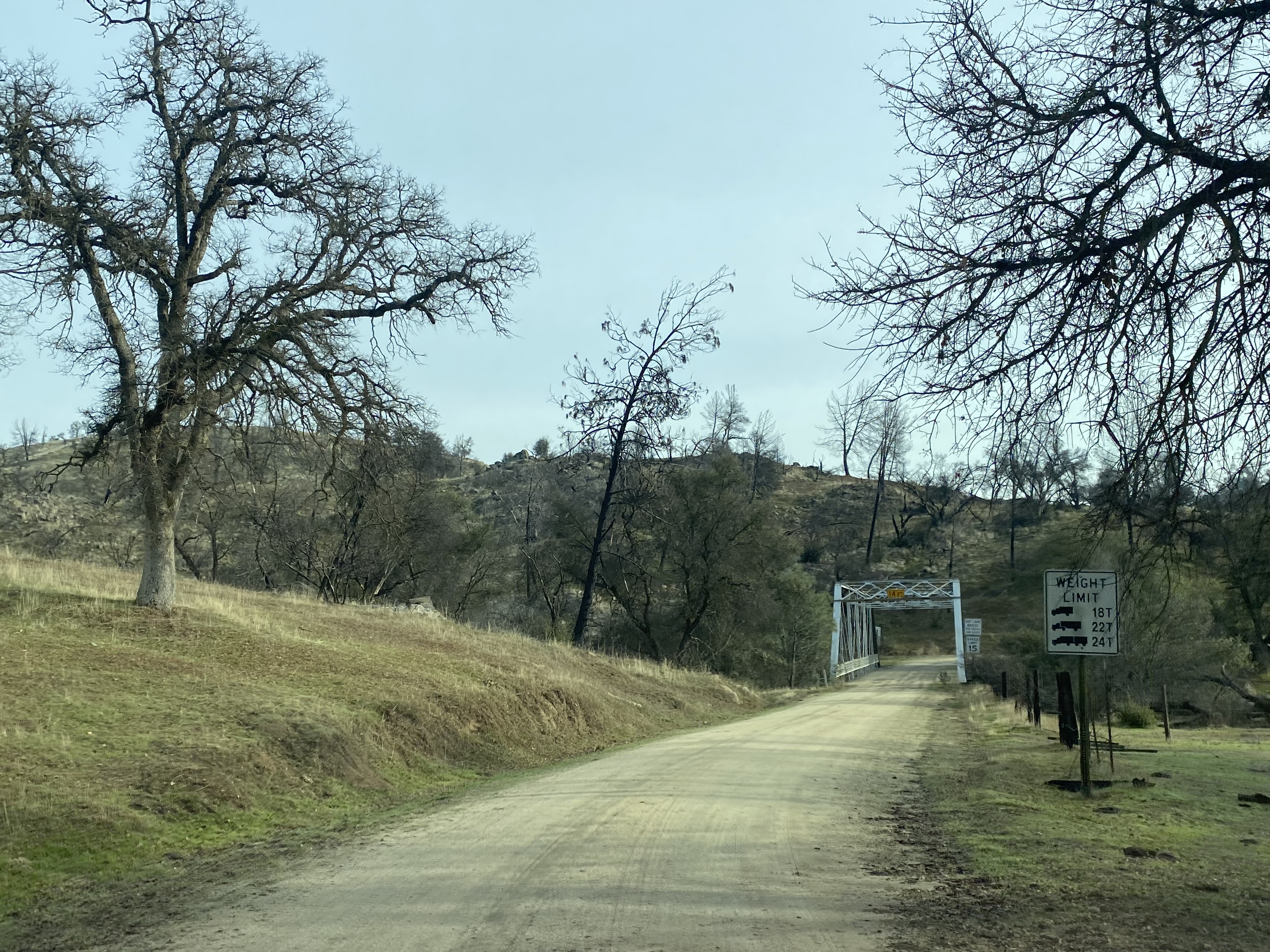
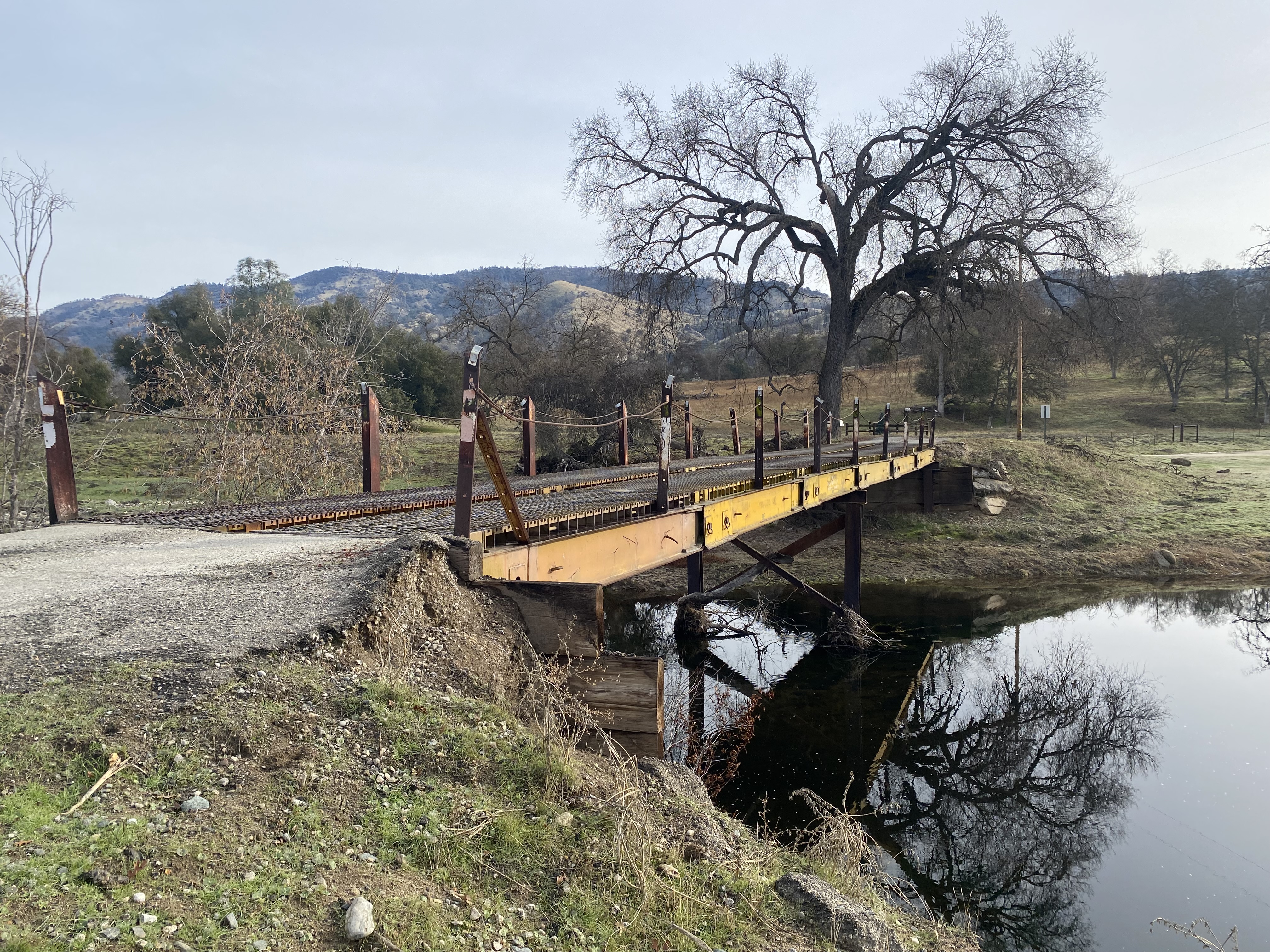
During 1956 two truss spans were installed along Bailey Flats Road at Striped Rock Creek and the Middle Fork Chowchilla River. The new bridge at Striped Rock Creek replaced a concrete ford.
Madera County would eventually drop their county road names in favor of a numbering system. Within the Sierra Nevada Mountains the road system began in the 100s and ascended westward to the 800 range. What was Bailey Flats Road was renumbered as Road 800. Mariposa County has retained their naming conventions and thusly the name of Indian Peak Road has been retained to modern times.
Part 2; a drive on Madera County Road 800 and Indian Peak Road
From Madera County Road 800 is accessible via Road 613 departing northbound from Raymond. Raymond was founded as Wild Cat Station and was the north terminus of the San Joaquin Valley and Yosemite Railroad which was opened by the Southern Pacific Railroad in February 1886. The San Joaquin Valley and Yosemite Railroad received its first passengers by March of 1886 and the community of Wild Cat Station became a popular trailhead for stages heading to the Wawona Road of Yosemite National Park. Postal Service was established in July of 1886 and the community's name was changed to Raymond. The name Raymond was chosen due to the community frequently being the used to ship materials from the nearby Raymond Granite Quarry. In addition to the Yosemite Stage and Granite the community of Raymond also had a substantial lumber shipping industry sourced by nearby Fresno Flats (modern Oakhurst). The San Joaquin Valley and Yosemite Railroad was shuttered in 1946.


Northbound Road 800 splits from Road 613 approximately three quarters of a mile from Raymond.


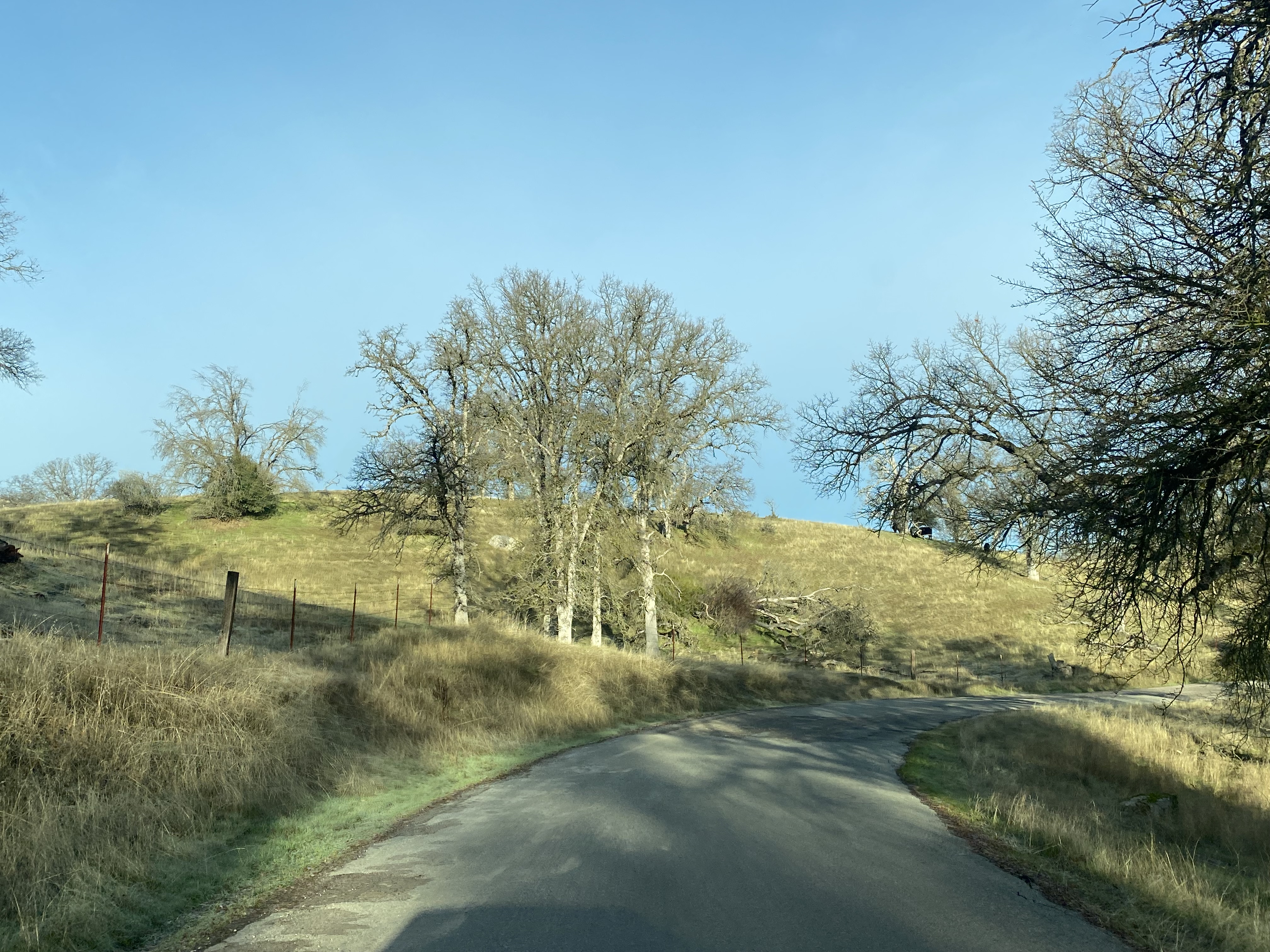
Northbound Road 800 begins as a single lane paved road and descends through Deep Hollow to a modern bridge at the Chowchilla River.


North of the Chowchilla River Road 800 continues as a paved road and intersects Road 820.


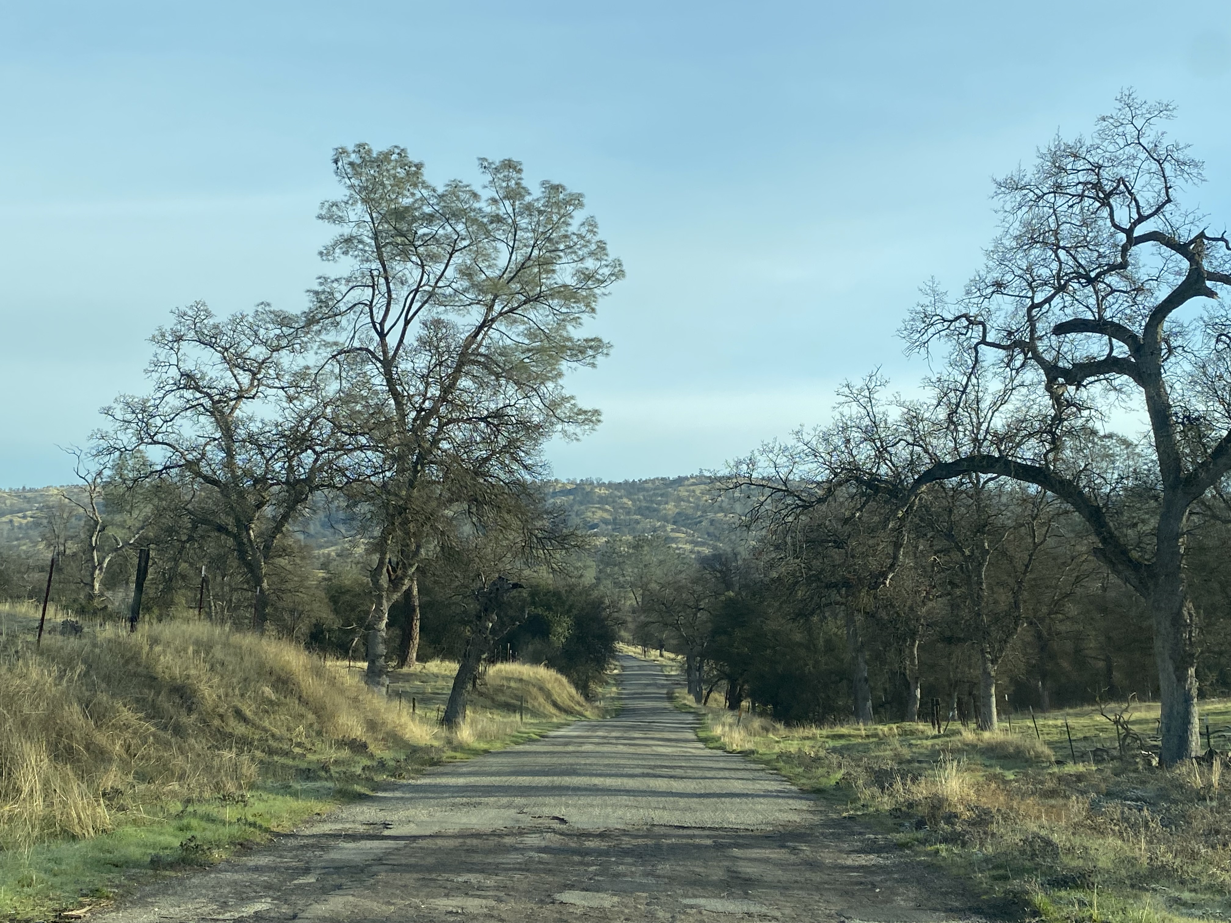


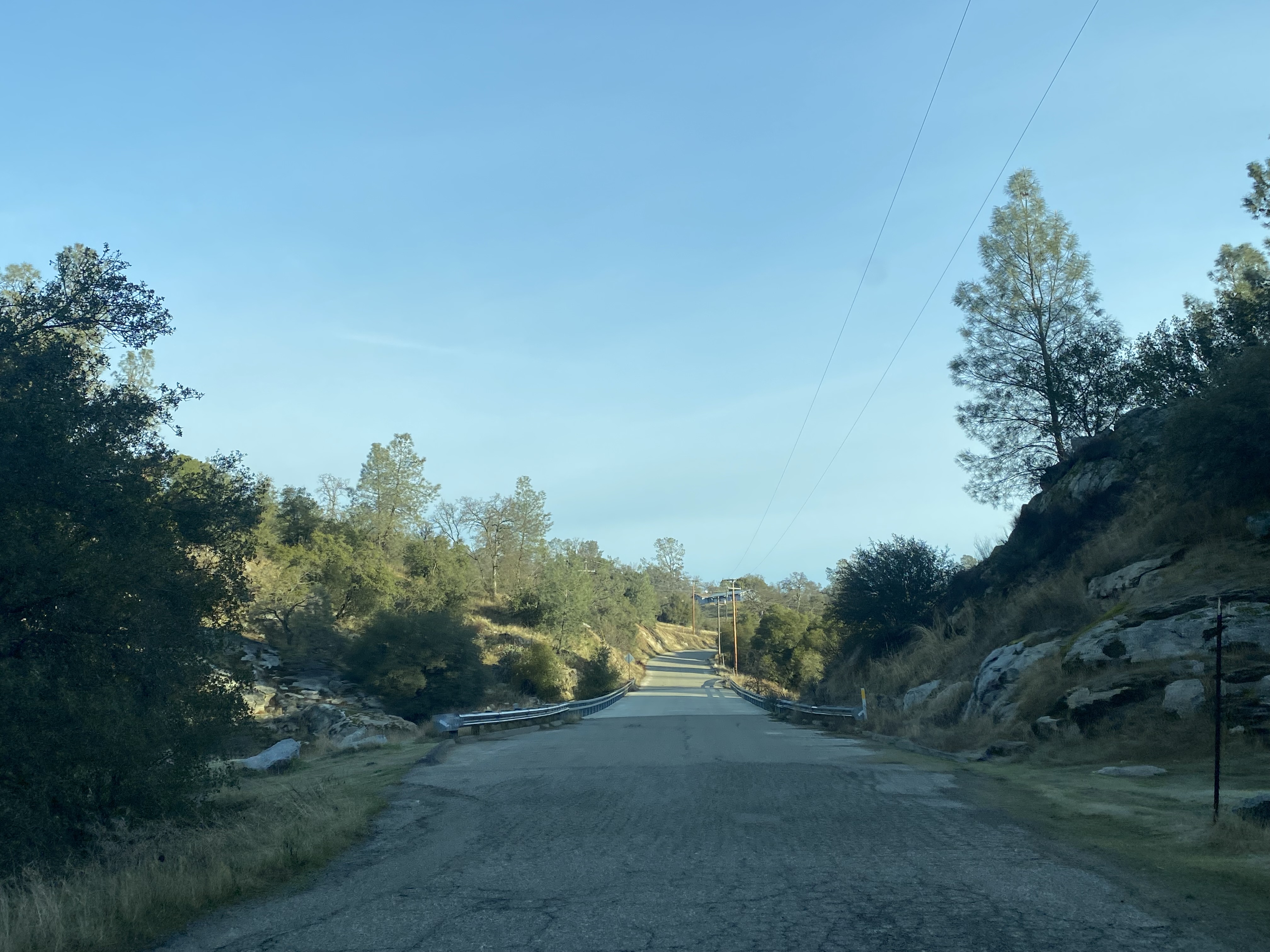
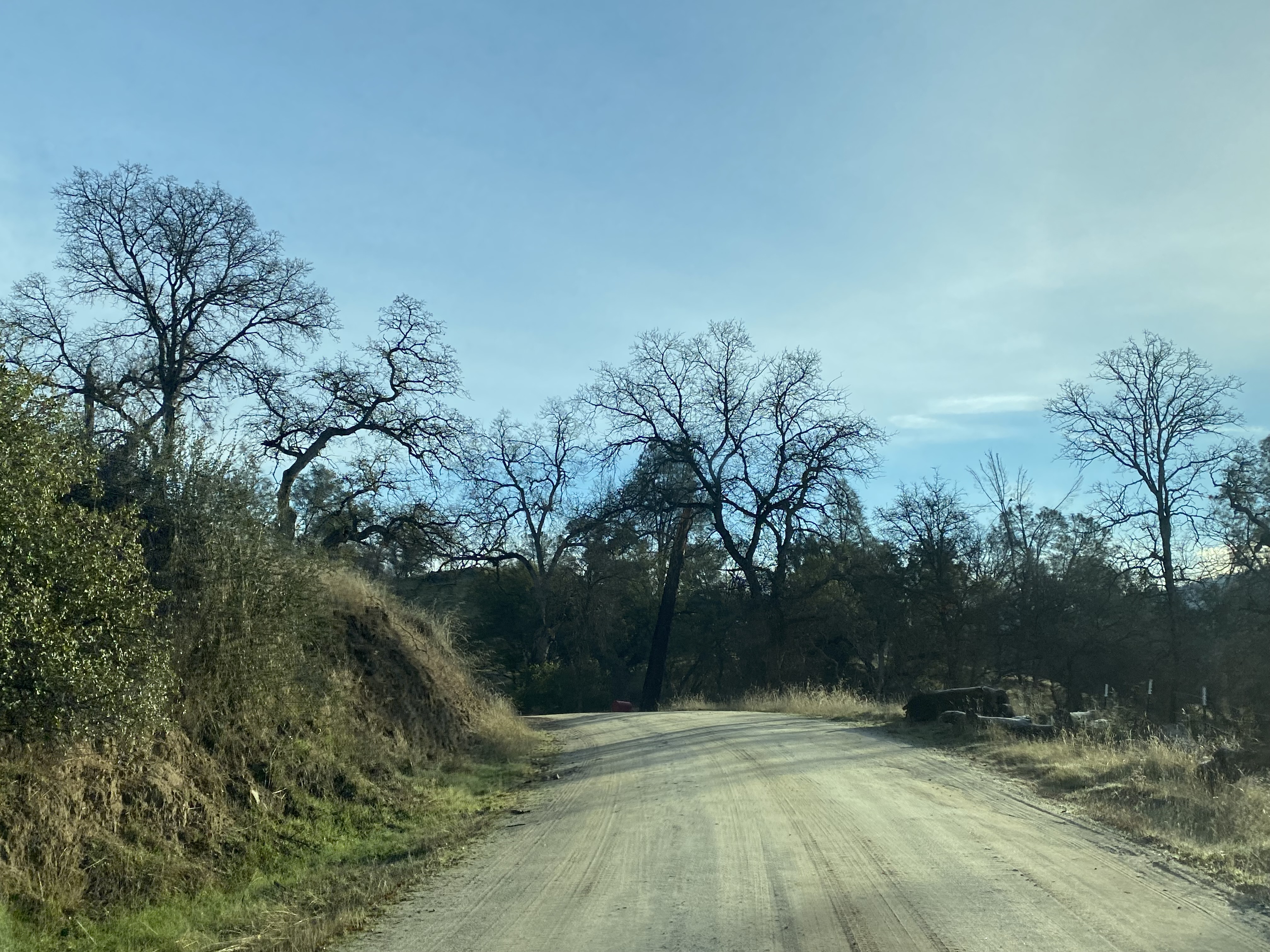
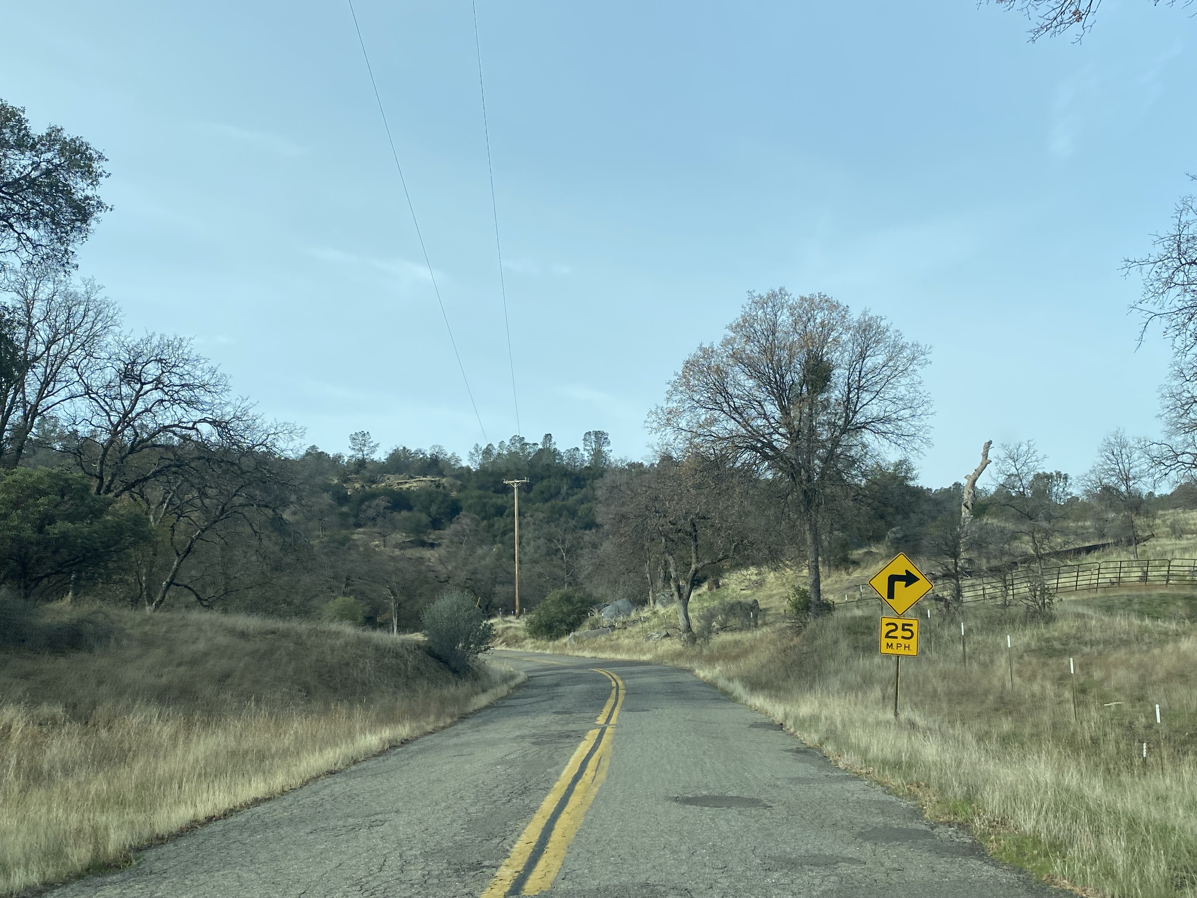
Road 800 crosses Striped Rock Creek via one of the two truss bridges installed during 1956. The earlier concrete ford can be observed looking south into the creek bed. Beyond the bridge the asphalt surface of Road 800 gives way and the highway remains unsurfaced north to the Mariposa County line. The entire dirt portion of Road 800 passes through open range territory.


Road 800 follows the western bank of the Chowchilla River north to the Middle Fork and East Fork confluence. Road 800 crosses the second truss bridge at the Middle Fork Chowchilla River.


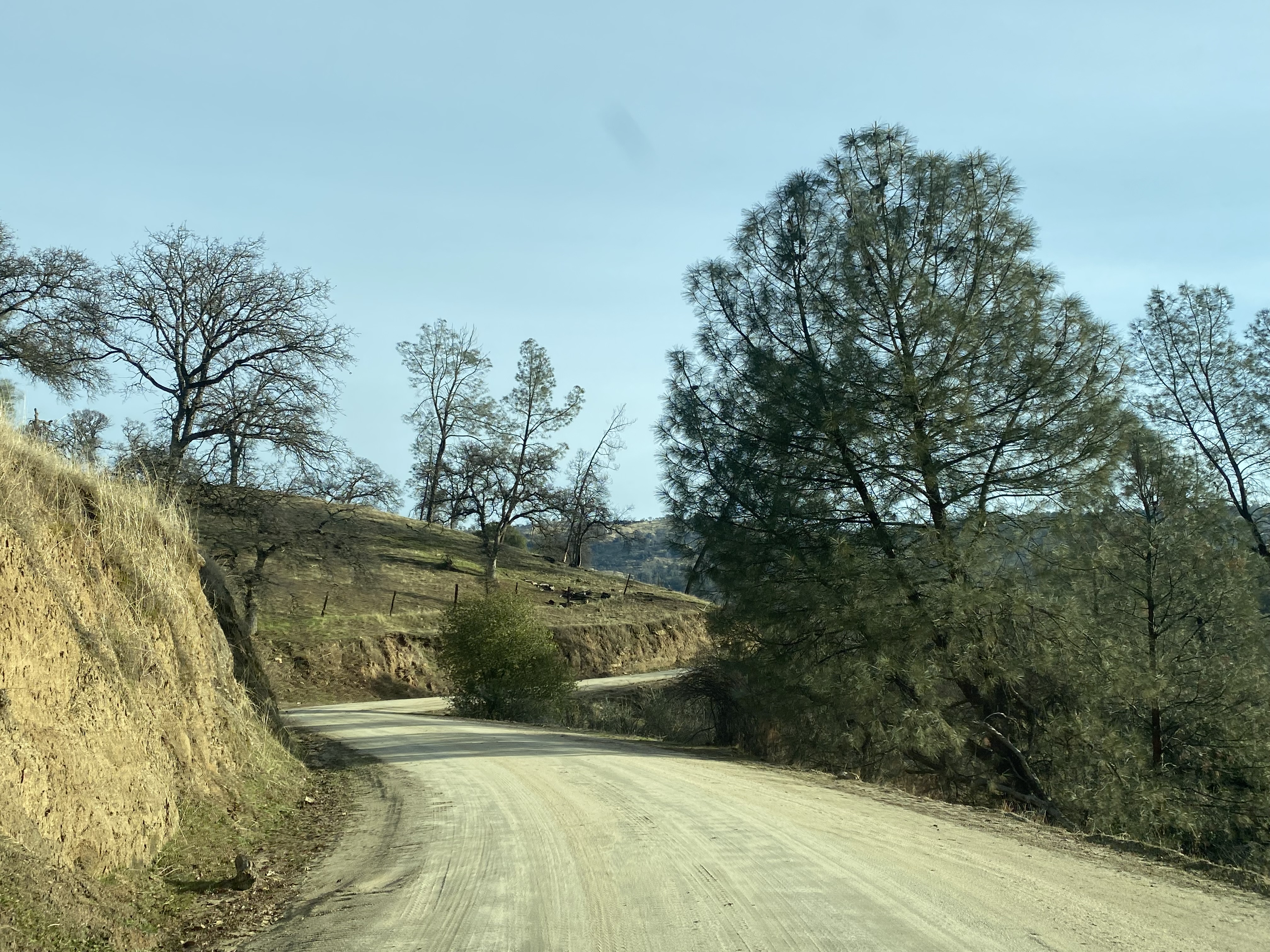


Road 800 begins to the follow the East Fork Chowchilla River and enters the location of Bailey Flats. Within the Bailey Flats ghost town site Road 800 intersects Road 810 (formerly Acton Grade).


Road 810 crosses the East Fork Chowchilla River via a deck plate bridge installed during the early 1970s. It is unclear if another bridge was present at the location given there is an earthen ford south of the current structure.


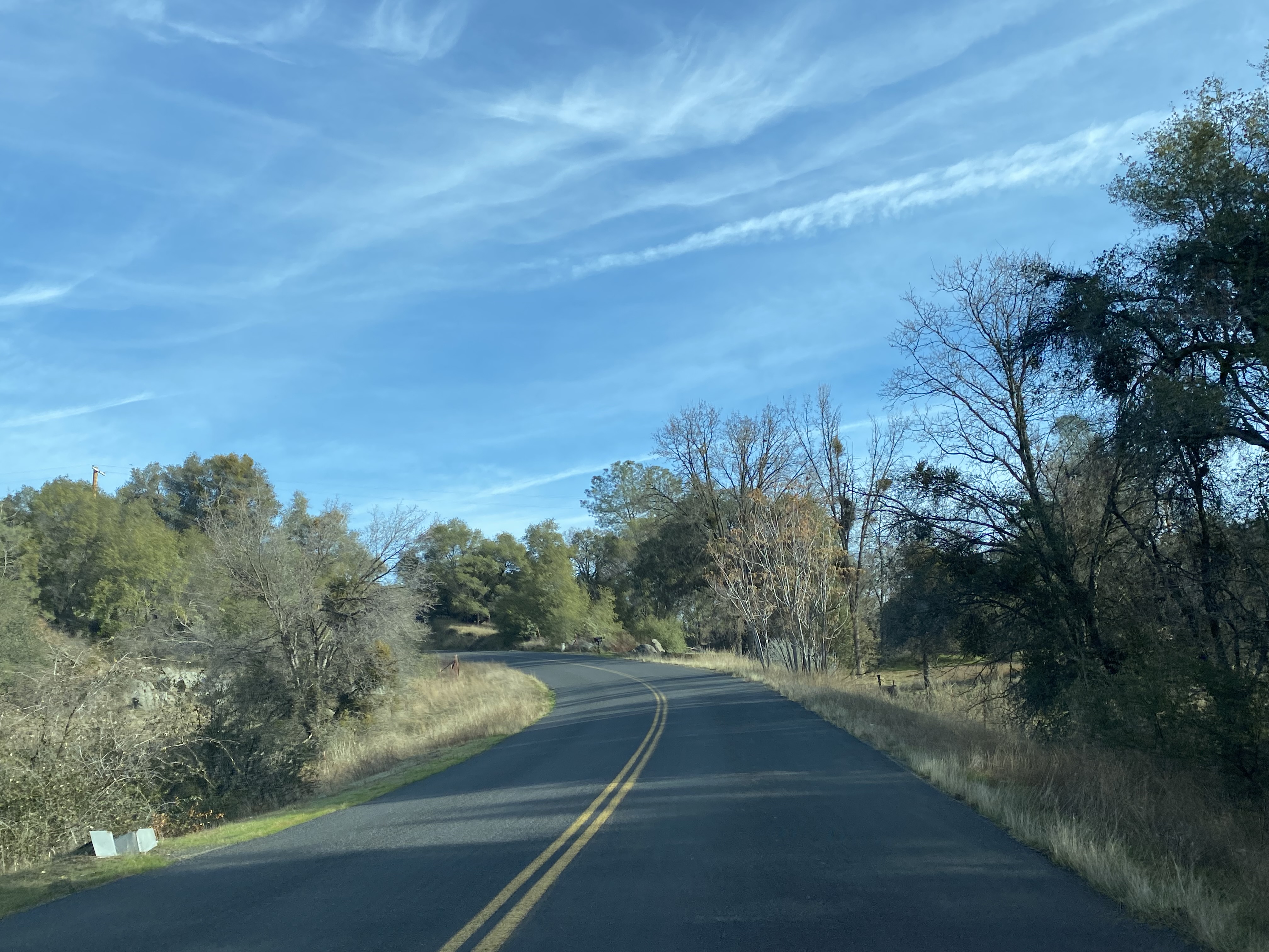
The first two and half miles of Indian Peak Road are a dirt surface. The asphalt section of Indian Peak Road begins approaching Usona Road. Traffic wishing to remain on Indian Peak Road is directed to turn left at Usona Road.


Indian Peak Road crosses the Middle Fork Chowchilla River.


Indian Peak Road winds through the terrain northward towards Bootjack and crosses the West Fork Chowchilla River a wood deck bridge.


Indian Peak Road makes a right hand turn at Oak Grove Road.


Indian Peak Road crosses Humbug Creek via another wood deck bridge.


Indian Peak Road continues northbound to California State Route 49 just west of Bootjack. Traffic continuing north of California State Route 49 transitions onto Silva Road.


Comments