
Morgan Territory Road is an approximately 14.7-mile-long roadway mostly located in the Diablo Range of Contra Costa County, California. The roadway is named after settler Jerimah Morgan who established a ranch in the Diablo Range in 1857. Morgan Territory Road was one of several facilities constructed during the Gold Rush era to serve the ranch holdings. The East Bay Regional Park District would acquire 930 acres of Morgan Territory in 1975 in an effort to establish a preserve east of Mount Diablo. The preserve has since been expanded to 5,324 acres. The preserve functionally stunts the development along roadway allowing it to remain surprisingly primitive in a major urban area.

Part 1; the history of Morgan Territory Road
During the period of early period of American Statehood much of the Diablo Range of Contra Costa County was sparsely developed. Jerimah Morgan acquired 2,000 acres of land east of Mount Diablo in 1856 and established a ranch in 1857. Morgan Territory Road is one of several roads which were developed to service the ranch holdings during the nineteenth century.
Morgan Territory Road can be seen on the 1896 United States Geological Survey Map of Mount Diablo. The roadway is seen beginning in Alameda County north of Manning Road. The roadway is seen entering Contra Costa County and following Arroyo Cayetano to a crest in the Diablo Range located at 2,107 feet above sea level. The northern half of Morgan Territory Road is displayed following Marsh Creek to present day Marsh Creek Road. Finley Road through Riggs Canyon is shown to be then a more prominent roadway to Morgan Territory.


Morgan Territory Road can be seen on the 1913 C.F. Weber Map of Alameda County and Contra Costa County.

Morgan Territory Road can be seen a minor highway on the 1935 Division of Highways Map of Contra Costa County.

The East Bay Regional Park District would acquire 930 acres of Morgan Territory in 1975 in an effort to establish a preserve east of Mount Diablo. The preserve has since been expanded to 5,324 acres.

Part 2; a drive on Morgan Territory Road
Northbound Morgan Territory Road begins in Alameda County via a right-hand turn from Manning Road.


As Morgan Territory Road enters Contra Costa County it drops to a single lane. Traffic is warned of a low weight capacity bridge nine miles to the north.


Morgan Territory Road quickly ascends into the Diablo Range and passes by a rural firehouse.


Morgan Territory Road enters the namesake Regional Preserve.


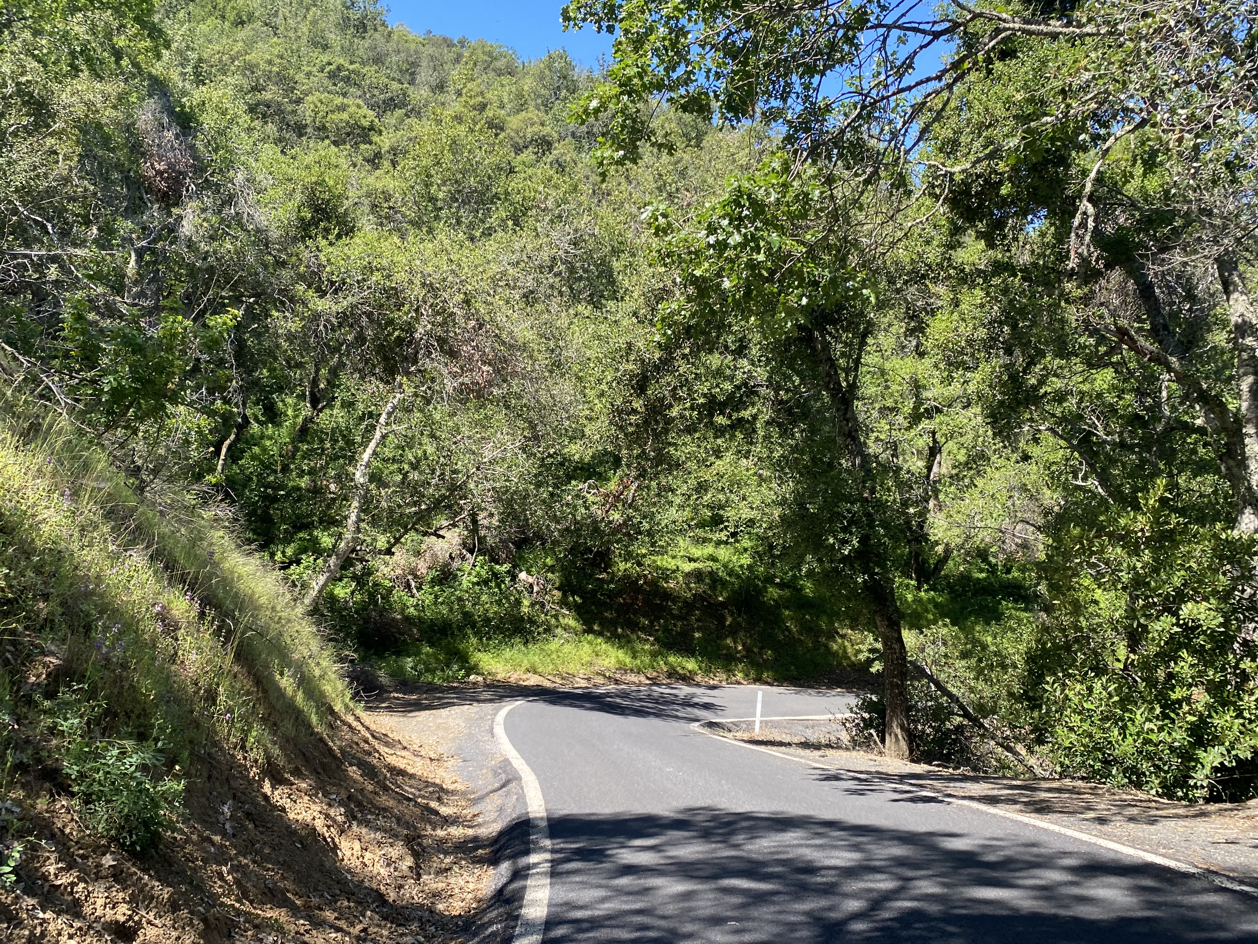
Morgan Territory Road through the namesake Regional Preserve narrows at points to less than ten feet wide as it runs alongside Marsh Creek.


Morgan Territory Road passes through several privately owned land parcels within view of Mount Diablo. The roadway then crosses over Marsh Creek via numerous one-lane bridges.


Morgan Territory Road expands to a two-lane roadway north of the Preserve lands.


Morgan Territory Road continues a two-lane roadway north to where it terminates at Marsh Creek Road.


Comments