M-153 is a 25.127-mile State Trunkline located in southeast Michigan. The highway begins at US Route 12 (Michigan Avenue) at the Detroit city limit and largely follows Ford Road west to M-14 in Washtenaw County. M-153 was designated as a State Trunkline during December 1930. The corridor at the time was constructed to Canton Center Road and was planned to be extended to the vicinity of Jackson. The Trunkline was constructed to US Route 12 at Plymouth Road in 1934 and the extension to Jackson was cancelled in 1935. Numerous improvements to M-153 occurred through the remainder of the 20th century as it became an increasingly traveled urban surface highway.
Part 1; the history of M-153
M-153 between Wyoming Road at the Detroit city limit is carried via Ford Road just west of Frazier Lake Road. The corridor is named in honor Ford Motor Company founder Henry Ford's father William.
William Ford settled at what is now the corner of Ford Road and Greenfield Road circa 1847 in Dearborn Township. William Ford was a well-known public servant who served as a road commissioner, justice of the peace and school board member. The corridor was ultimately named Ford Road in his honor during 1905.
When Ford Road was named, the corridor extended from Weir Street/McGraw Avenue west to Canton Center Road in Canton Township. The western terminus of Ford Road can be seen on the 1905 United States Geological Survey Map of Wayne.
M-153 was designated as a 47.4-mile-long State Trunkline on December 2, 1930. M-153 was part of the proposed "Detroit-Chicago Superhighway" which was planned to be largely constructed on a new alignment west of Canton Center Road. As originally adopted the Trunkline began at then US Route 112 (Michigan Avenue) at the Detroit/Dearborn city limit. The highway followed Wyoming Avenue and Ford Road to a western terminus at Canton Center Road. The planned corridor west of Canton Center Road passed through Ann Arbor and Sylvan where it would have ended at Michigan Avenue (US Route 12) near the eastern city limit of Jackson.
(Source: michiganhighways.org)
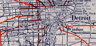
The original western terminus of M-153 at Canton Center Road can be seen on the 1934 Rand McNally Junior Map of Michigan.
By Summer 1933 M-153 was extended west to Napier Road at the Wayne/Washtenaw County line. By July 1934 the Trunkline was extended west to US Route 12 at Plymouth Road in Washtenaw County. The western extension beyond Plymouth Road was cancelled by the State on January 7, 1935.
(Source: michiganhighways.org)
M-153 appears complete between US Route 112 and US Route 12 on the 1939 Rand McNally Map of Michigan.
On March 31, 1965, the M-14 freeway from US Route 23 east to M-153 was established as a functional Trunkline. The new corridor was developed concurrently with an expressway grade which realigned M-153 west of Frains Lake Road to Plymouth Road and the new M-14 freeway. A portion of M-153 along Ford Road between the new alignment to where it originally met Plymouth Road was relinquished to the county.
(Source: michiganhighways.org)
The extension of M-153 to Plymouth Road and the M-14 freeway can be seen on the 1965 United States Geological Survey Map of Eastern Ann Arbor. M-153 and M-14 may have been signed via a multiplex west of Plymouth Road.
By December 1973 M-153 between Artesian Street/Auto Club Drive west to Golfview Drive was reconstructed to freeway standards. An un-signed portion of the original highway was renamed as Altar Road and was not relinquished until January 1985. By February 1980 the eastern extension of the M-14 freeway would open which led to M-153 formally being extended west of Plymouth Road.
(Source: michiganhighways.org)
Part 2; a drive on western M-153
M-153 can be accessed from Interstate 275 Exit 25 to Ford Road.
Westbound M-153 passes through Canton Township via Ford Road. At the Township edge the Trunkline passes the original terminus of Canton Center Road.
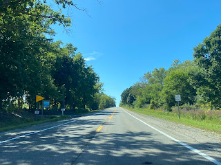
Westbound M-153 enters Washtenaw County and drops to two lanes. The highway expands again to four lanes approaching a bypassed segment of Ford Road near Frains Lake Road.
M-153 intersects the original alignment of US Route 12 at Plymouth Road. M-14 was designated over the Plymouth Road corridor during 1956. US Route 12 was originally moved to the initial freeway segments comprising Interstate 94. Ultimately the highway was relocated onto what was US Route 112 in between Detroit and New Buffalo in 1961.
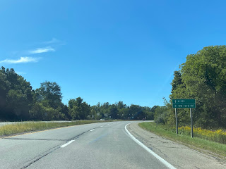
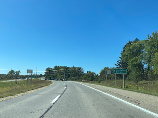
The western terminus of M-153 is located at the M-14 freeway.


Comments