
Scenic Road (Carmel-by-the-Sea)


Scenic Road is a 1.5-mile street located in and around the city of Carmel-by-the-Sea, California.  The corridor was developed as part of a 1902 subdivision which formed the basis for the modern Carmel town plot.  The routing of Scenic Road follows Carmel Bay from Ocean Avenue southward Mara Beach by the Carmel River.  The street offers numerous coastal views, is free to use and aligned for southbound-only traffic.  


Part 1; the history of Scenic Road

Prior to European contact Carmel Valley was home to numerous local tribes.  The area was first explored by Europeans during a 1542 Spanish expedition led Juan Rodriguez Cabrillo.  The Cabrillo expedition sailed along the coastline north through Big Sur, Carmel Valley and Monterey Peninsula, but made no attempt to land.  

In 1602 Sebastián Vizcaíno discovered Carmel Valley at the behest of Spain and named the river running through it Rio Carmel.  The name is thought to be an honorific reference to three Carmelite friar which were part of the expedition.  The Spanish would not attempt to colonize the area until 1770 when the Catholic Mission San Carlos Borromeo de Carmelo was established.  

Following the Mexican-American War the lands around Carmel Bay became part of the American state of California.  Numerous settlers would buy up plots of land on Carmel Bay and Carmel Valley from the 1850s through the 1880s.  During 1889 Monterey property developer Santiago J. Duckworth filed a subdivision map with Monterey County.  The subdivision plot was simply known as "Carmel" and the area would even receive erratic on/off Postal Service.  

During 1902, James Franklin Devendorf and Frank Hubbard Powers, would submit another subdivision map with Monterey County which established much of the modern town plot of Carmel.  The plot included what is now "Scenic Road" which ran along the waterfront of Carmel Bay.  The community would incorporate as the city of "Carmel-by-the-Sea" on October 31, 1916.  The name "Carmel-by-the-Sea" was a reference to the early publicity campaign to spur interest in the area.  

Scenic Road appears in detail on the 1938 Thomas Brothers Map of Carmel-By-The-Sea


Part 2; a drive on Scenic Road

Scenic Road begins from the western terminus of Ocean Avenue at the parking lot for Carmel Sunset Beach.  Traffic is forced to loop through the parking lot to reach the one-way only southbound Scenic Road.  


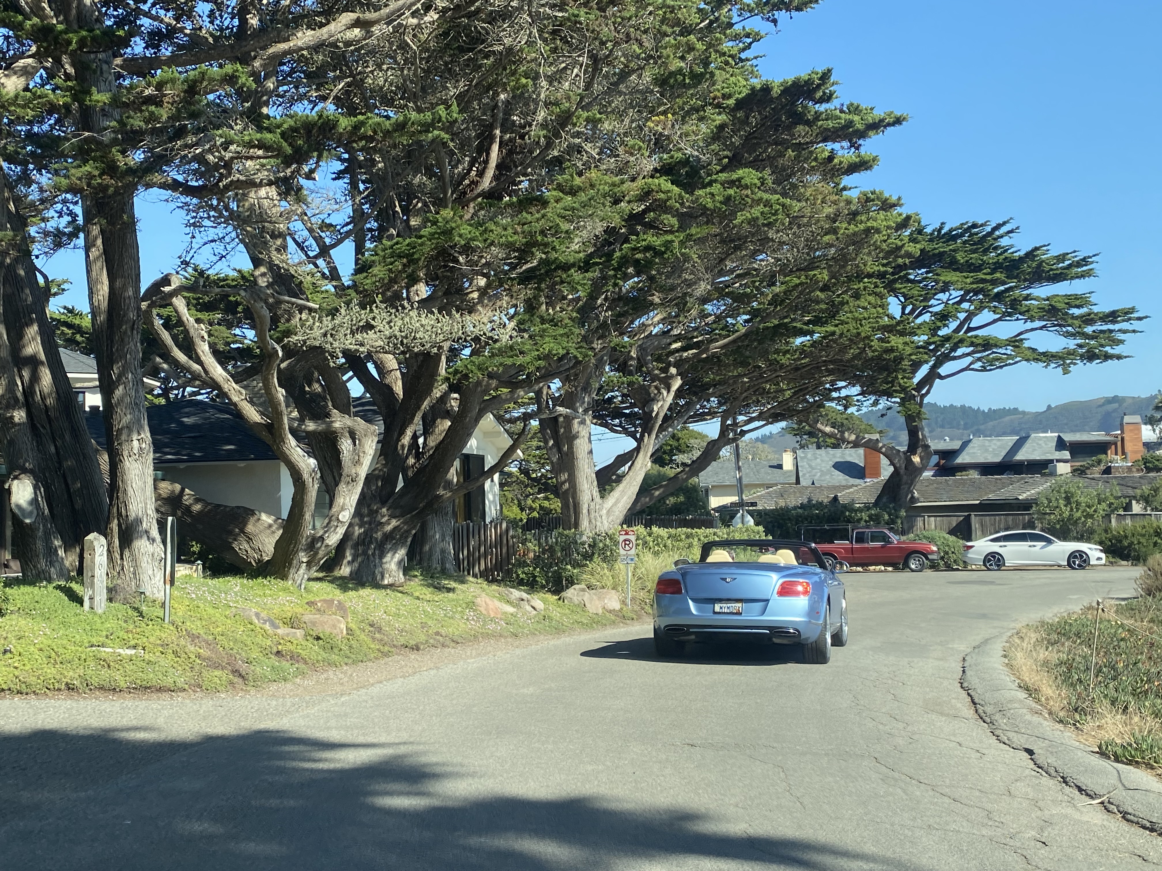
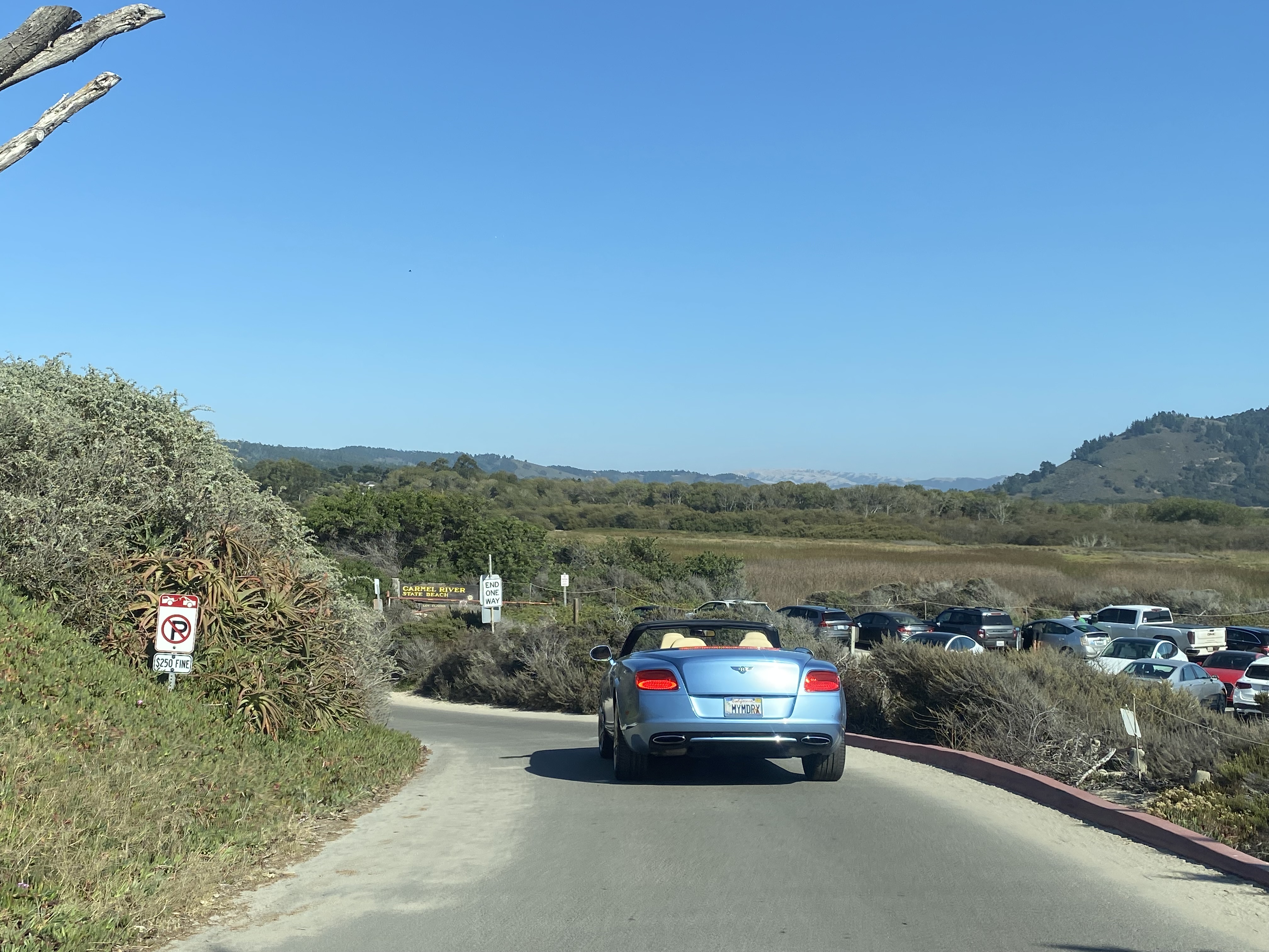
Scenic Road follows the course of Carmel Bay southward and dips inland to a terminus at the parking lot for Mara Beach.  The corridor passes numerous beaches and higher end homes built along the coastline.  At Mara Beach traffic transitions to the two-way Carmelo Street heading northbound.  


Comments

Popular posts from this blog

Old US Route 60/70 through Hell (Chuckwall Valley Road and Ragsdale Road)

Back in 2016 I explored some of the derelict roadways of the Sonoran Desert of Riverside County which were part of US Route 60/70; Chuckwalla Valley Road and Ragsdale Road. US 60 and US 70 were not part of the original run of US Routes in California.  According to USends.com US 60 was extended into California by 1932.  US 60 doesn't appear on the California State Highway Map until the 1934 edition. USends.com on US 60 endpoints 1934 State Highway Map Conversely US 70 was extended into California by 1934, it first appears on the 1936 State Highway Map. USends.com on US 70 endpoints 1936 State Highway Map When US 60 and US 70 were extended into California they both utilized what was Legislative Route Number 64 from the Arizona State Line west to Coachella Valley.  LRN 64 was part of the 1919 Third State Highway Bond Act routes.  The original definition of LRN 64 routed between Mecca in Blythe and wasn't extended to the Arizona State Line until 1931 acc...

Trimmer Springs Road (Fresno County)

Trimmer Springs Road is an approximately forty-mile rural highway located in Fresno County.  The corridor begins near in California State Route 180 in Centerville and extends to Blackrock Road at the Kings River in the Sierra Nevada range near the Pacific Gas & Electric Company town of Balch Camp. The roadway is named after the former Trimmer Springs Resort and was originally constructed to facilitate access to the Sanger Log Flume.  Trimmer Springs Road was heavily modified and elongated after construction of Pine Flat Dam broke ground in 1947.   Part 1; the history of Trimmer Springs Road Much of the original alignment of Trimmer Springs Road was constructed to facilitate access to the Sanger Log Flume.   The  Kings River Lumber Company  had been established in 1888 in the form of a 30,000-acre purchase of forest lands in Converse Basin.  This purchase lied immediately west of Grant Grove and came to be known as "Millwood."  The co...

When was Ventura Avenue east of downtown Fresno renamed to Kings Canyon Road? (California State Route 180)

California State Route 180 was one of the original Sign State Routes designated in August 1934.  The highway east of Fresno originally utilized what was Ventura Avenue and Dunlap Road to reach what was then General Grant National Park.  By late year 1939 the highway was extended through the Kings River Canyon to Cedar Grove.   In 1940 General Grant National Park would be expanded and rebranded as Kings Canyon National Park.  The Kings Canyon Road designation first appeared in publications circa 1941 when the California State Route 180 bypass of Dunlap was completed.  Kings Canyon Road ultimately would replace the designation of Dunlap Road from Dunlap to Centerville and Ventura Avenue west to 1st Street in Fresno.   The Kings Canyon Road would remain largely intact until March 2023 when the Fresno Council designated Cesar Chavez Boulevard.  Cesar Chavez Boulevard was designated over a ten-mile corridor over what was Kings Canyon Road, remaini...