
Triangle Road (Mariposa County)


Triangle Road is an eleven-and-a-half-mile rural highway located in Sierra Nevada range of Mariposa County.  The corridor begins at California State Route 140 near the community of Midpines and serves as a cutoff of Mariposa which connects south to California State Route 49.  The corridor was north of Darrah was developed in 1912 in to serve as a fire road and was circa 1936-1937.  Pictured is the blog cover is the Snow Creek Bridge near the community of Darrah. 


Part 1; the history of Triangle Road

The development of early Triangle Road is tied to the history of rural community of Darrah near Snow Creek and Buckingham Mountain.  The community was based around the landholdings of Richard Darrah which began to see substantial growth in the 1870s.  The Snow Creek School (later Mount Buckingham School) would open in 1878, and the community would obtain Post Office Service in 1880. 

Triangle Road can be seen complete north from the Chowchilla School (where the road now meets California State Route 49) to Darrah on the 1897 United States Geological Survey of Yosemite.  Jerseydale Road can be seen branching north of Darrah towards said namesake community.  


The surveying and construction of Triangle Road north of Darrah was conducted during 1912 by a company out of Bootjack.  The purpose of the corridor was to serve as a fire road which would shield the densely developed areas of Mariposa County.  

The extension of Triangle Road northwest to California State Route 140 near Midpines was surveyed in January 1936.  Mariposa acquired the necessary right of way during February 1936 and construction would break ground during the following November.  The corridor was developed as a Civilian Conservation Corps project out of Camp Bootjack and included a new bridge over Snow Creek.  The extension was announced as having an anticipated completion by November 1937. 

Source livingnewdeal.org

The completed extension of Triangle Road north of Darrah appears on the 1947 United States Geological Survey map of El Portal.   The extension is shown to run south of Buckingham Mountain.


Part 2; a drive on Triangle Road

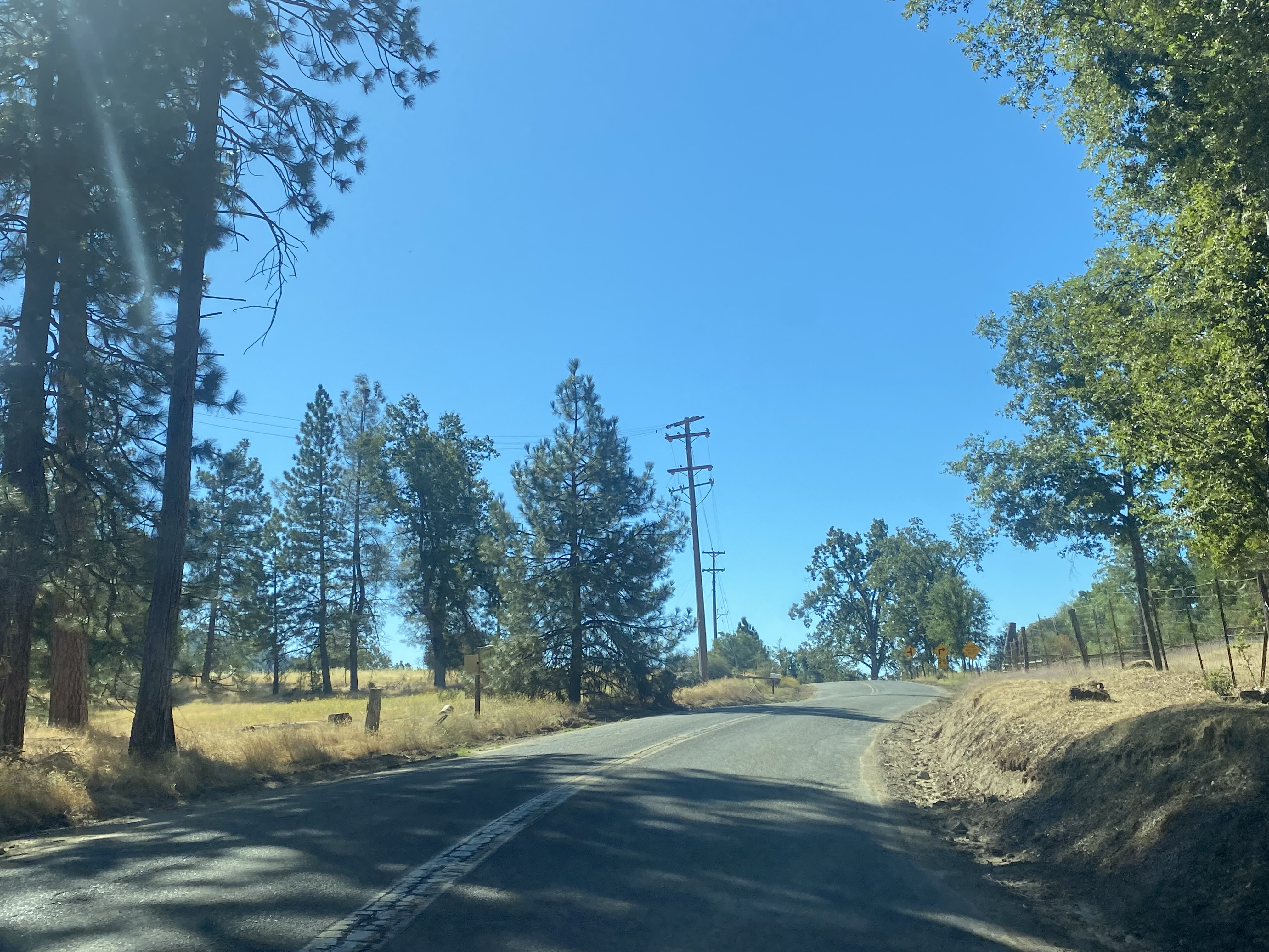
Southbound Triangle Road can be accessed from California State Route 140 near Midpines. 


Triangle Road ascends to a ridge which overlooks the Bootjack area.  


Triangle Road descends to the Snow Creek Bridge with Buckingham Mountain looming overhead.  The Arc Deco design of the Snow Creek Bridge easily places it to the era of Civilian Conservation Corps construction.  


Triangle Road passes through the community of Darrah and intersects the namesake Darrah Road.  


Triangle Road continues south from Darrah and terminates at California State Route 49.  


Comments

Popular posts from this blog

Old US Route 60/70 through Hell (Chuckwall Valley Road and Ragsdale Road)

Back in 2016 I explored some of the derelict roadways of the Sonoran Desert of Riverside County which were part of US Route 60/70; Chuckwalla Valley Road and Ragsdale Road. US 60 and US 70 were not part of the original run of US Routes in California.  According to USends.com US 60 was extended into California by 1932.  US 60 doesn't appear on the California State Highway Map until the 1934 edition. USends.com on US 60 endpoints 1934 State Highway Map Conversely US 70 was extended into California by 1934, it first appears on the 1936 State Highway Map. USends.com on US 70 endpoints 1936 State Highway Map When US 60 and US 70 were extended into California they both utilized what was Legislative Route Number 64 from the Arizona State Line west to Coachella Valley.  LRN 64 was part of the 1919 Third State Highway Bond Act routes.  The original definition of LRN 64 routed between Mecca in Blythe and wasn't extended to the Arizona State Line until 1931 acc...

When was Ventura Avenue east of downtown Fresno renamed to Kings Canyon Road? (California State Route 180)

California State Route 180 was one of the original Sign State Routes designated in August 1934.  The highway east of Fresno originally utilized what was Ventura Avenue and Dunlap Road to reach what was then General Grant National Park.  By late year 1939 the highway was extended through the Kings River Canyon to Cedar Grove.   In 1940 General Grant National Park would be expanded and rebranded as Kings Canyon National Park.  The Kings Canyon Road designation first appeared in publications circa 1941 when the California State Route 180 bypass of Dunlap was completed.  Kings Canyon Road ultimately would replace the designation of Dunlap Road from Dunlap to Centerville and Ventura Avenue west to 1st Street in Fresno.   The Kings Canyon Road would remain largely intact until March 2023 when the Fresno Council designated Cesar Chavez Boulevard.  Cesar Chavez Boulevard was designated over a ten-mile corridor over what was Kings Canyon Road, remaini...

The last 1956-63 era California Sign State Route Spade?

Along southbound California State Route 170 (the Hollywood Freeway Extension) approaching the Hollywood Freeway/Ventura Freeway interchange a white California State Route 134 Sign State Route Spade can be observed on guide sign.  These white spades were specifically used during the 1956-63 era and have become increasingly rare.  This blog is intended to serve as a brief history of the Sign State Route Spade.  We also ask you as the reader, is this last 1956-63 era Sign State Route Spade or do you know of others?  Part 1; the history of the California Sign State Route Spade Prior to the Sign State Route System, the US Route System and the Auto Trails were the only highways in California signed with reassurance markers.  The creation of the US Route System by the American Association of State Highway Officials during November 1926 brought a system of standardized reassurance shields to major highways in California.  Early efforts to create a Sign State Route ...